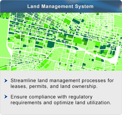
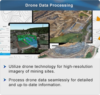
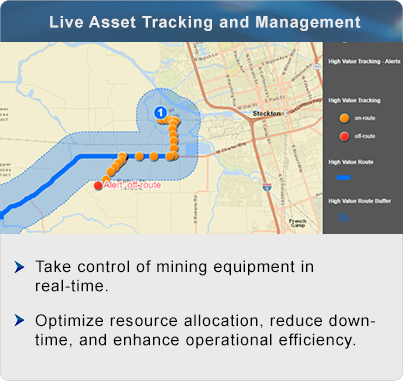
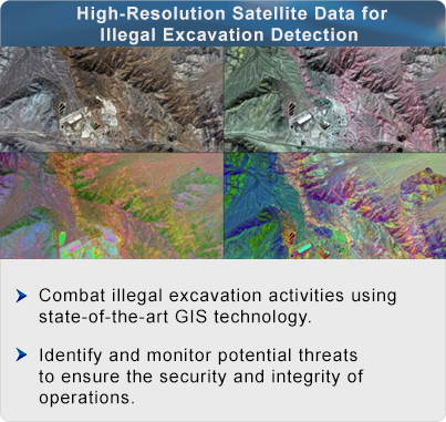
Sustainable, Responsible and Efficient Mining with GIS
In the dynamic landscape of mining operations, GIS offer a revolutionary approach to data management and analysis. By integrating spatial data with powerful analytical tools, GIS enables mining companies to optimize resource utilization, enhance operational efficiency, and ensure compliance with regulatory standards. From volumetric change assessment to environmental impact monitoring, GIS provides a comprehensive solution tailored to the unique challenges of the mining industry, paving the way for sustainable and responsible extraction practices.