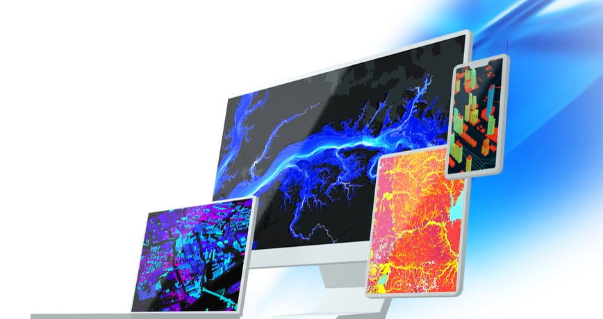
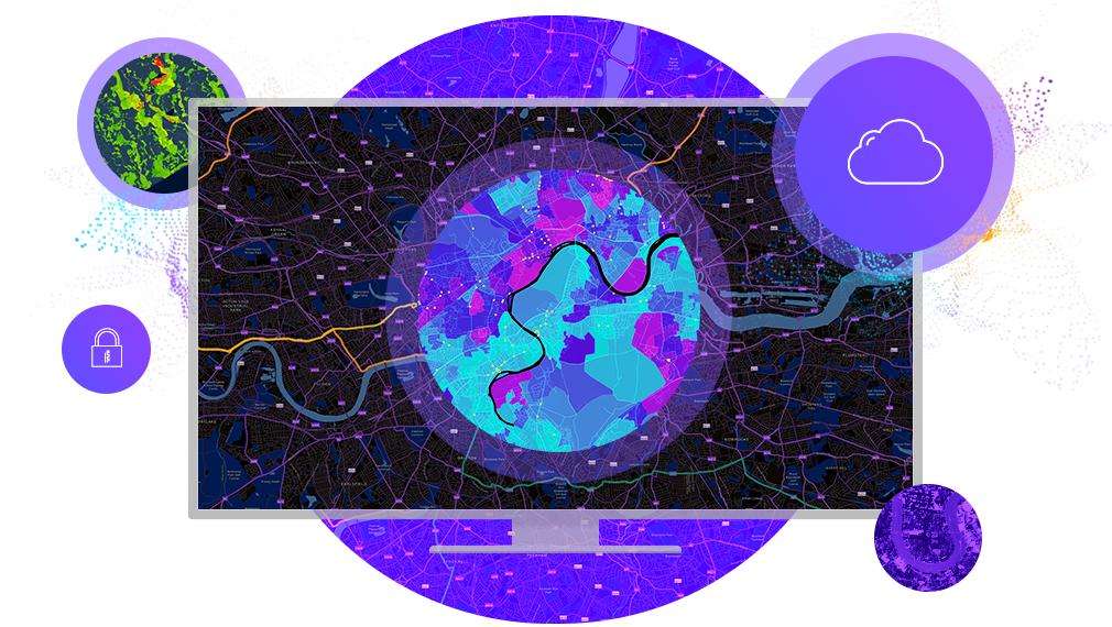
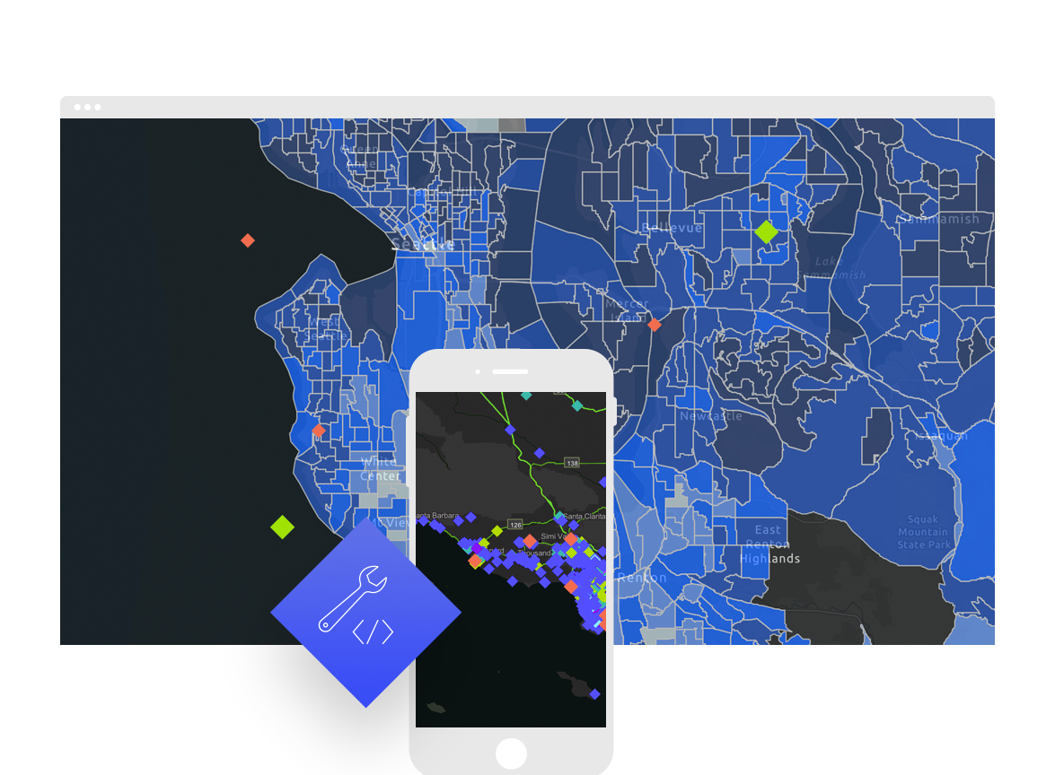
Esri is world’s leading Geographic Information System (GIS) software and solutions provider. Established in 1969, Esri was founded to help solve some of the world’s largest problems, from natural disasters to humanitarian crisis. After 45+ years, it continues to thrive and grow as a leader in mapping innovation. With a focus on advancing the use of applied geography Esri spends more than 25% of its annual revenue on Research and Development. Esri makes ArcGIS suits of products, the most powerful mapping software in the world.
ArcGIS software and apps combine mapping and data analytics to deliver location intelligence and meet digital transformation needs for organizations of all sizes. Intelligent mapping and analytics drive informed decisions. Get a competitive advantage with Esri’s ArcGIS technology. Use real-time product performance tracking and advanced analytics to increase market share. Visualize supply chain workflows, efficiencies, and risks. Improve customer satisfaction, and outpace competitive threats throughout global markets.
Government: National governments use geographic information system (GIS) technology to manage programs and evaluate policy outcomes. With GIS, agency staff and leaders integrate diverse types of data to derive understanding, operationalize solutions, communicate insights, and engage stakeholders and the public. Using GIS to incorporate location intelligence into high-level decision-making provides powerful insights on critical issues the nation faces, and supports science- and analysis-based policy making.
Mining: From mineral exploration to mine remediation, Esri ArcGIS software supports decision-making throughout the entire mining life cycle. Everyone in your company can access data and smart maps for project planning, mine operations, transportation management, and risk analysis.


