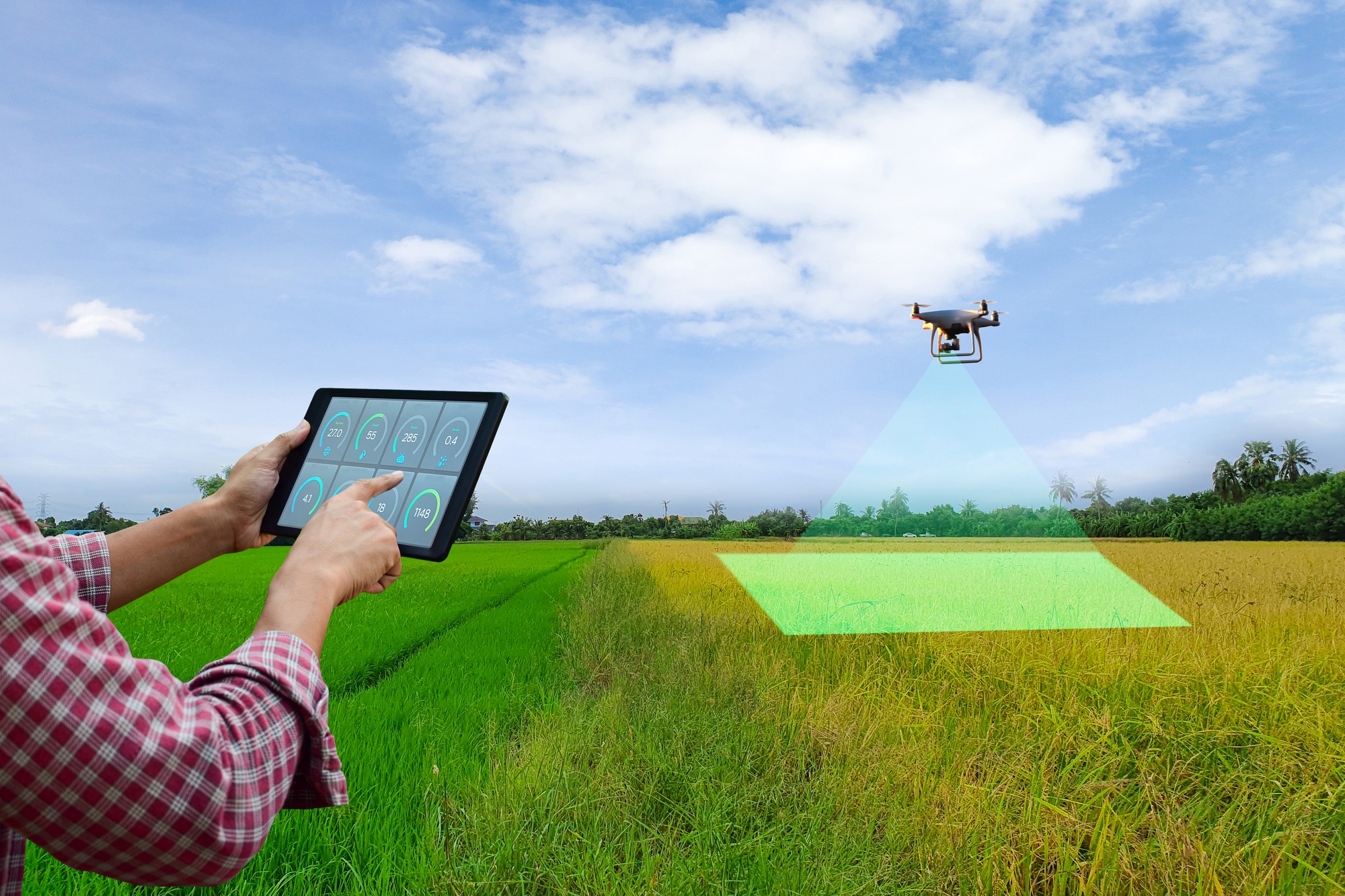
GIS applications are instrumental in land management systems, supporting cadastral mapping, land use planning, environmental assessment, natural resource management, transaction management, risk assessment, and decision support. By leveraging GIS technology, land managers can streamline processes, enhance data analysis, and improve the overall efficiency and effectiveness of land-related operations. There are specific applications designed for land management systems. These applications provide comprehensive tools and functionalities to effectively manage land-related data, processes, and workflows.
Webcast Industry: Mining
Application of GEOVIA Surpac in Surveying, Mineral Exploration and Mine Planning
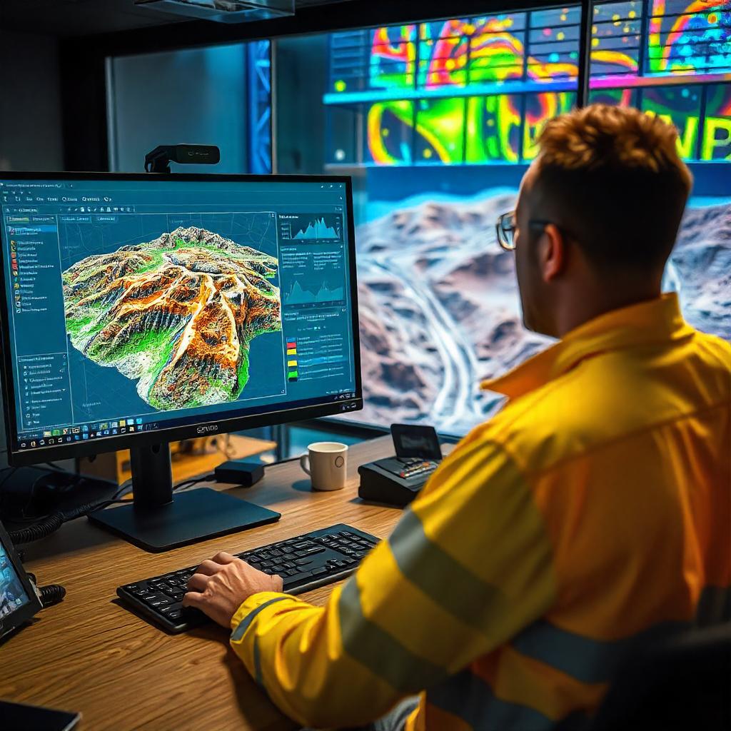
GEOVIA Surpac is the most widely used software in the world, supporting open pit and underground mining operations and exploration projects. Surpac enables mining practitioners to quantify and evaluate mineral deposits and to plan the efficient extraction of resources & reserves. In this webcast, we dwell deeper into the applications of GEOVIA Surpac.