GEOVIA Surpac is the most widely used software in the world, supporting open pit and underground mining operations and exploration projects. Surpac enables mining practitioners to quantify and evaluate mineral deposits and to plan the efficient extraction of resources & reserves. GEOVIA MineSched is employed by surface and underground mining operations of all types and sizes to produce long-term and short-term schedules that meet capacity and material quality targets. In this webcast, our consultants dwell deeper into the applications of GEOVIA Surpac and MineSched for mine planning and scheduling.
Webcast Industry: Mining
Achieve Greater Flexibility with Various GEOVIA Roles
With Dassault Systèmes Licensing Server (DSLS), Mining professionals can take advantage of the various Roles and benefit from quicker onboarding and greater flexibility with license management. By transitioning over to Roles, GEOVIA users move towards a simpler system opening up greater future value for access to other Dassault Systèmes solutions and Shape Mines more sustainable.
How Esri’s GIS Solutions Assist Mine Planners in Mineral Resource Development
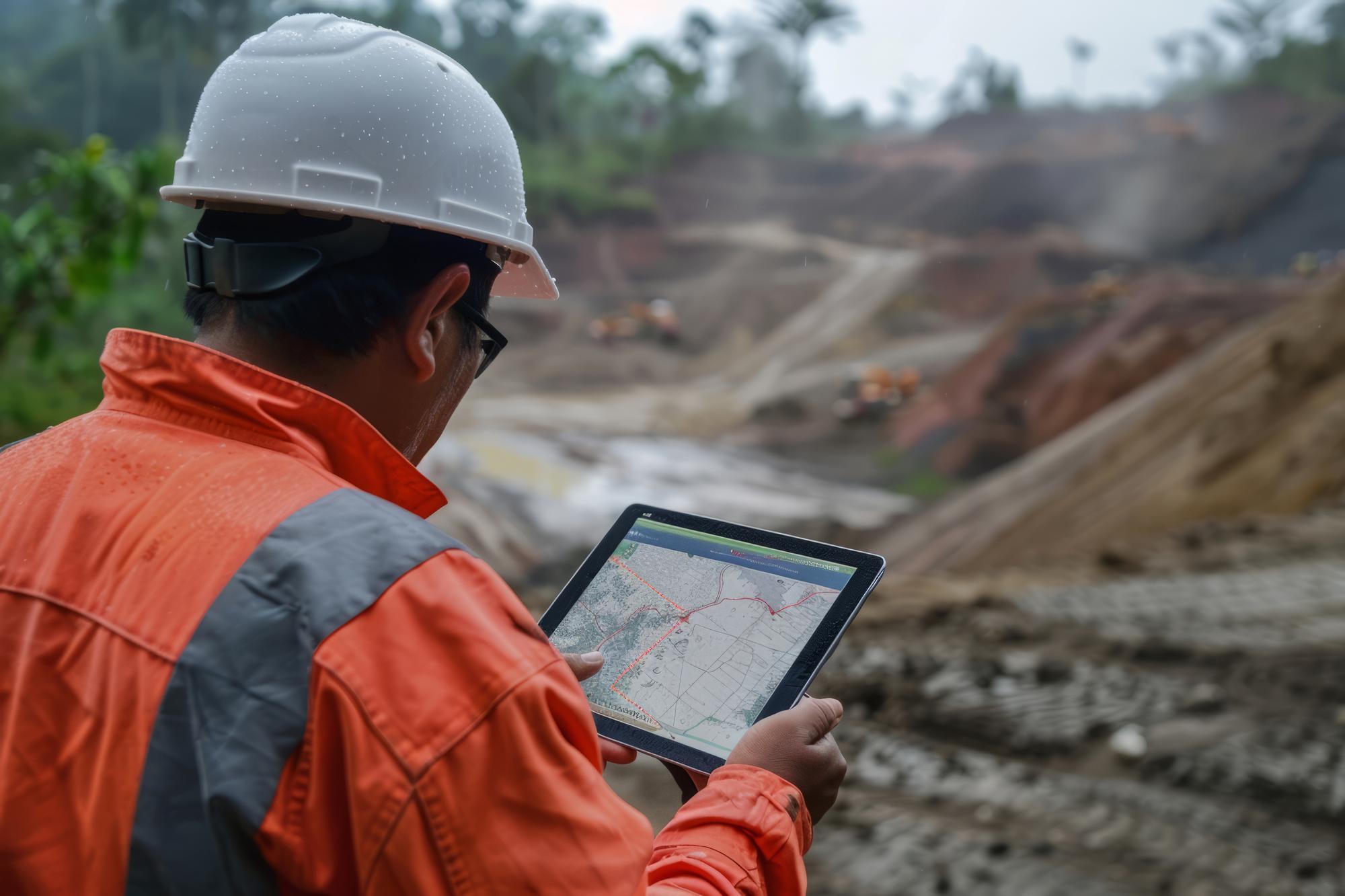
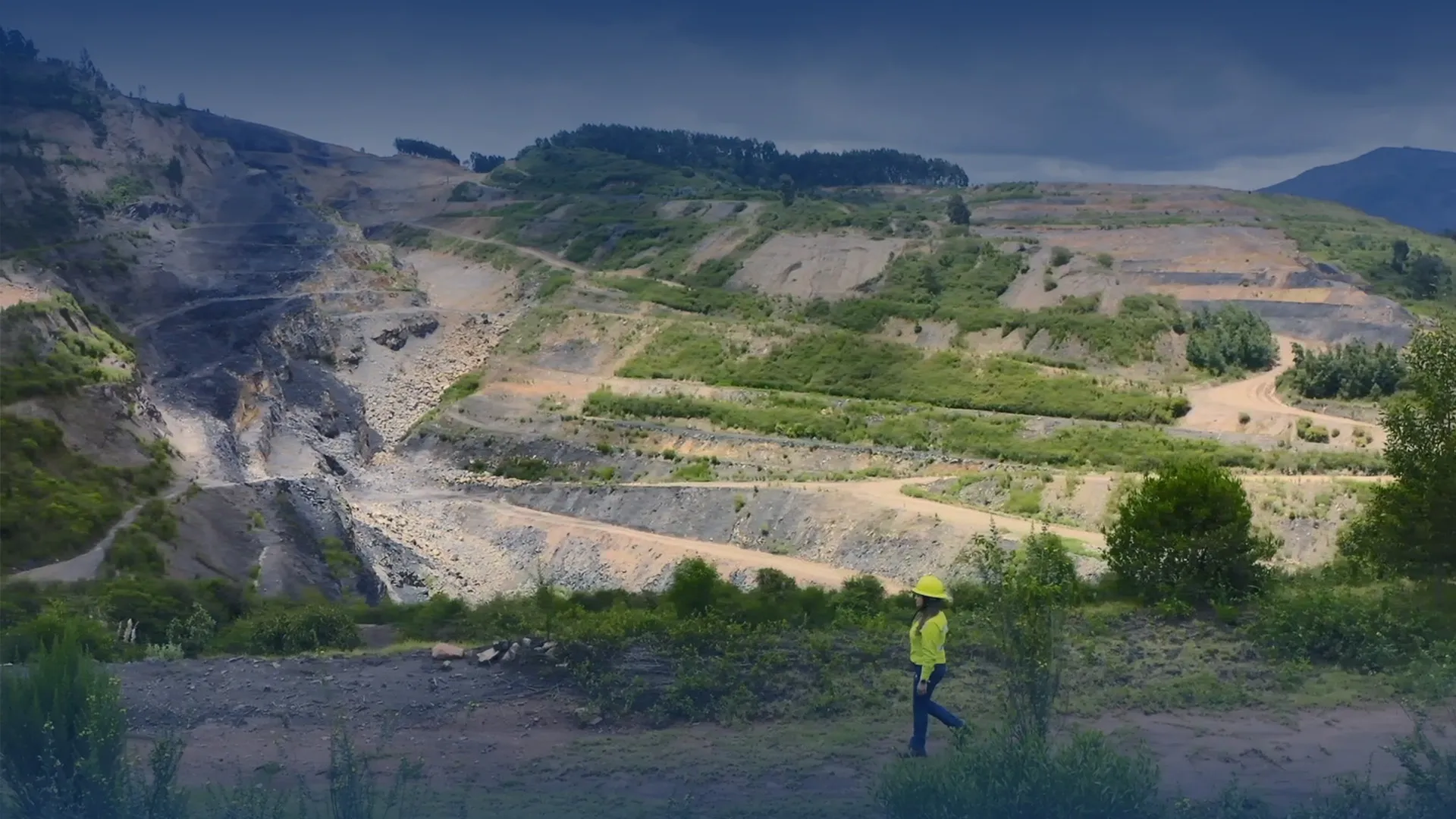
Location Intelligence is fundamental across the mining life cycle, from mineral exploration to mine remediation. With minerals and metals being depleted faster than we can replenish, understanding spatial context and integration with other geoscience technologies is critical in the strategic and environmentally sustainable development of new reserves. Esri’s GIS solutions are used in mainly 5 areas of mining: Survey, Feasibility and Planning, Development, Active Mining and Reclamation.
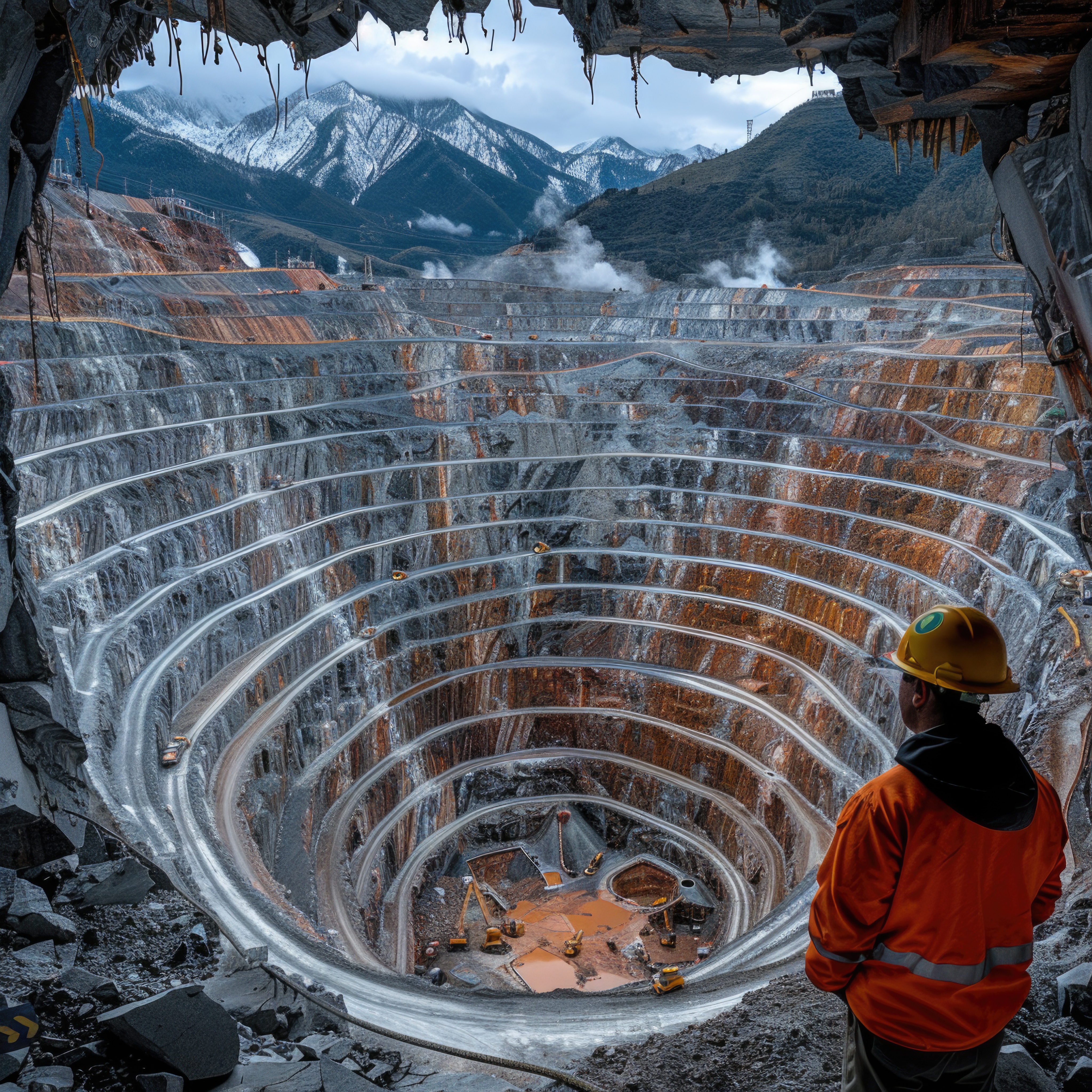
Strategic Planning of Mines and Maximization of Mine Profits
When exploration and mining companies need to evaluate the financial viability and the optimal mine strategy for a deposit, they turn to the strategic mine planning solutions from GEOVIA. Whittle is used in scoping, feasibility, life-of-mine scheduling, & in the ongoing re-evaluation of mine plans throughout the production phase.
Maximize Mine Profits and Minimize Idle Time with GIS Analytics

Location Intelligence is fundamental across the mining life cycle, from mineral exploration to mine remediation. With minerals and metals being depleted faster than we can replenish, understanding spatial context and integration with other geoscience technologies is critical in the strategic and environmentally sustainable development of new reserves.
Accelerating Sustainability in Mining with Geo Analytics

Location Intelligence is gaining significance across the mining life cycle, from mineral exploration to mine remediation. With minerals and metals getting depleted faster than we can replenish, understanding spatial context and integration with other geoscience technologies is critical in the strategic and environmentally sustainable development of new reserves. From mineral exploration to mine remediation, Esri’s GIS solutions support decision-making throughout the mining life cycle. The solutions are mainly used in 5 areas of mining: Survey, Feasibility and Planning, Development, Active Mining and Reclamation. In this session, guest speaker, Dr. Rahul Mitra, Hindalco Industries Ltd speaks on how his organization is leveraging ArcGIS technology to develop land management system, mine planning and reclamation. This is followed by a technical presentation by our speakers.