Our solutions portfolio empowers industries with advanced engineering simulation, digital manufacturing, and lifecycle management, enabling the creation of virtual twins to drive product innovation and optimize business processes. Applications like EDA, additive manufacturing, and defense simulation allow businesses to visualize, model, and simulate complex systems, entire product lifecycles, and synthetic environments.
All Solutions

Real Time Geospatial Intelligence & Analytics for Homeland Security
Real-time geospatial intelligence is essential for enhancing homeland security operations. By using Esri’s GIS, security agencies gain immediate insights into dynamic situations. With detailed mapping,…

Advanced Surveillance and Data Solutions for National Security
In national security, surveillance is vital for monitoring potential threats and ensuring the safety of citizens. With real-time monitoring capabilities, advanced surveillance systems enable the…

Forest Ecosystem Management with Geospatial Analytics and Data
Managing forest ecosystems requires sustainable practices, biodiversity monitoring, and data-driven decisions. Esri’s geospatial analytics enable forest managers to analyze biodiversity, soil health, and water resources…

Wildfire Management and Prevention with Geospatial Mapping Solutions
Wildfire management relies on precise mapping, monitoring, and predictive analysis to reduce risk and improve response efforts. Esri’s GIS technology allows forestry teams to analyze…

Afforestation and Reforestation with Geospatial Monitoring and Planning
Managing forest ecosystems requires sustainable practices, biodiversity monitoring, and data-driven decisions. Esri’s geospatial analytics enable forest managers to analyze biodiversity, soil health, and water resources…

Geospatial Insights for Land Records & Property Management
Managing land records and property information is essential for effective public administration. Esri ArcGIS provides geospatial solutions for organizing, maintaining, and analyzing land and property…
Resources


Latest Blog Posts
Your gateway to industry trends and updates
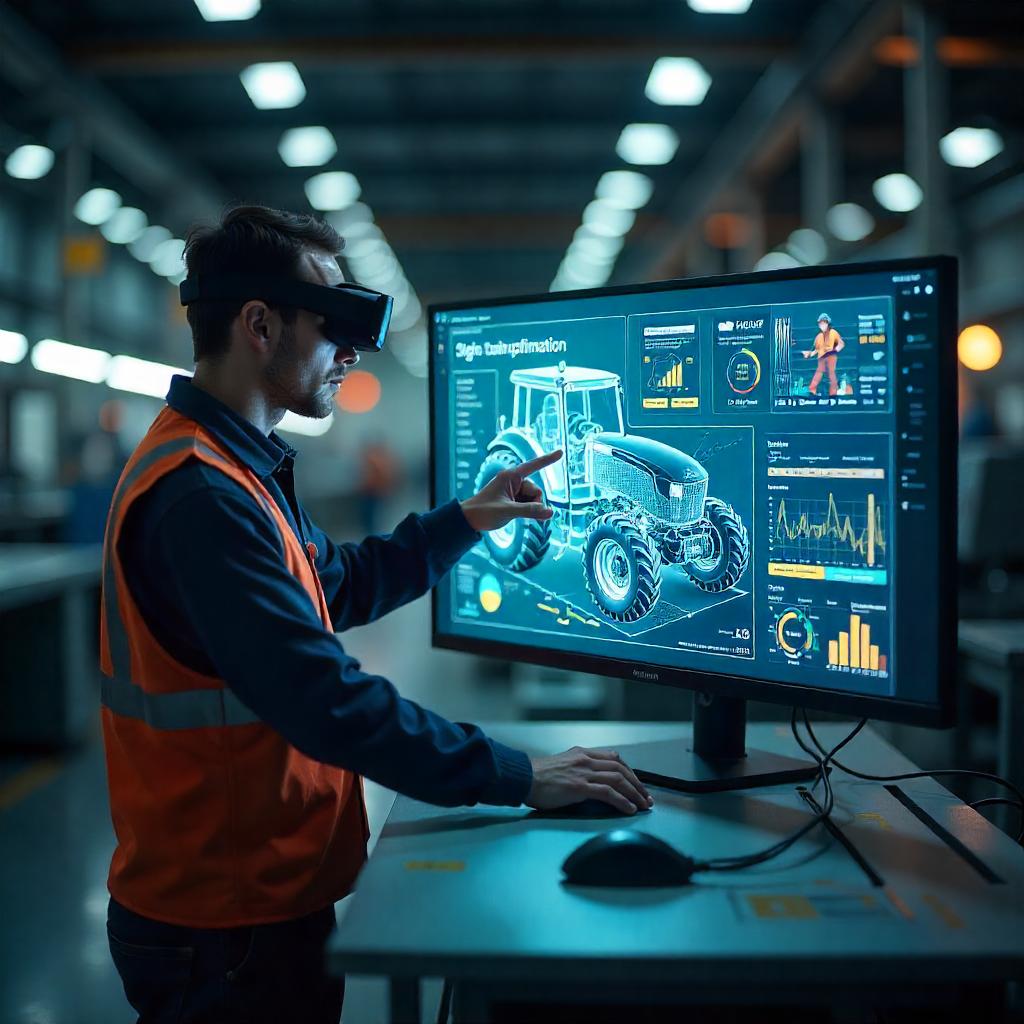
5 Reasons to Adopt Digital Transformation in Farm Equipment Manufacturing Industry
An important success factor for farm equipment manufacturing companies is their ability to define and manufacture quality products tailored to customer preferences and deliver them…

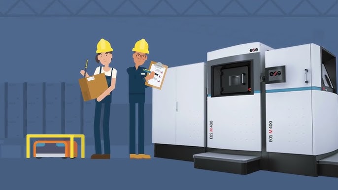
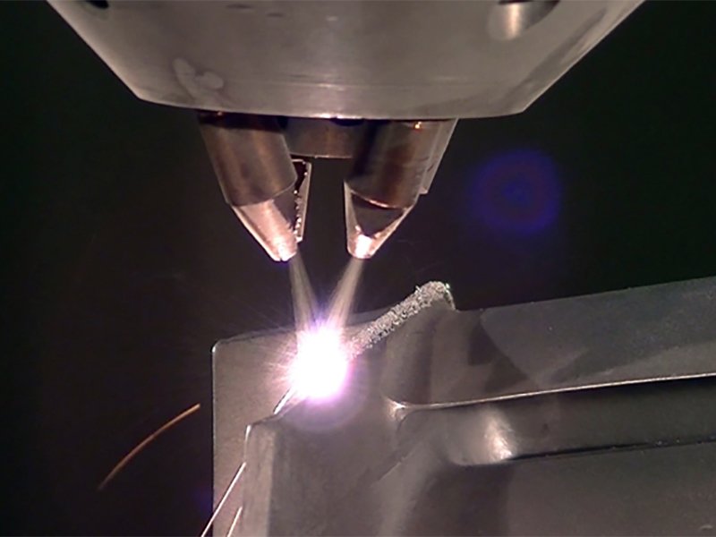
A Deep Dive into the Future of Additive Manufacturing
Additive Manufacturing (AM) Additive Manufacturing (AM), commonly referred to as 3D printing is a manufacturing process to form 3D physical parts from CAD DATA. In…

ABAQUS: A Complete Solution for Realistic Simulation
A myriad of products have been changing and improving the facet of our lives, be it machines, vehicles, life sciences. The way products are engineered…
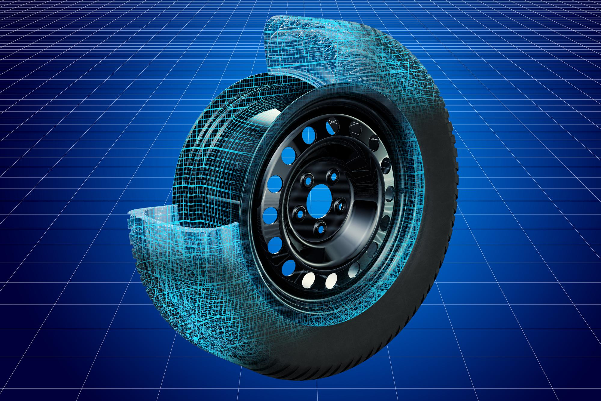
Advanced Tyre Analysis with SIMULIA: Unveiling the Secrets of Performance and Durability
When it comes to automotive engineering, the tyre is one of the most critical components influencing vehicle performance, safety, and durability. Tyres are one of…
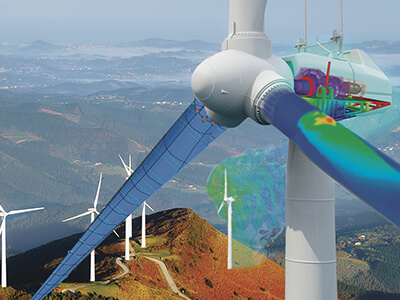
Extended Simulation of Wind Turbines Using ABAQUS
Wind turbines are pivotal in the global transition towards renewable energy systems. Accurate simulation of wind turbines using advanced finite element analysis (FEA) tools like…
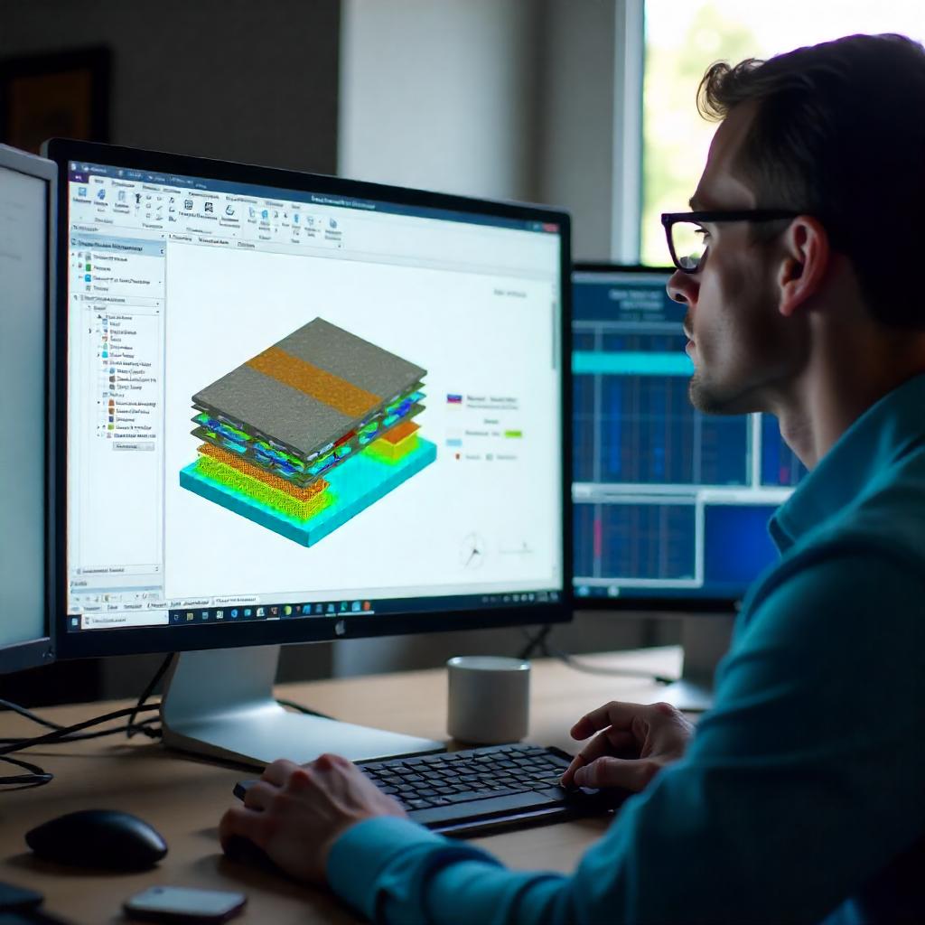
Composite Structure Investigation using ABAQUS Finite Element Solver
Introduction Composite materials are less expensive and stronger in nature in comparison to conventional materials. They are formed from two or more constituent materials which…
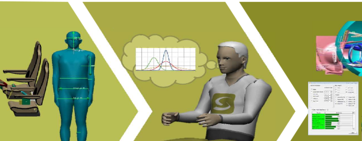
A Technology Perspective on Occupant Ergonomics In Automotive Industry
The Automotive Industry is witnessing a transformation globally as well as in India. New technologies and government regulations are driving this transformation. More so, the…
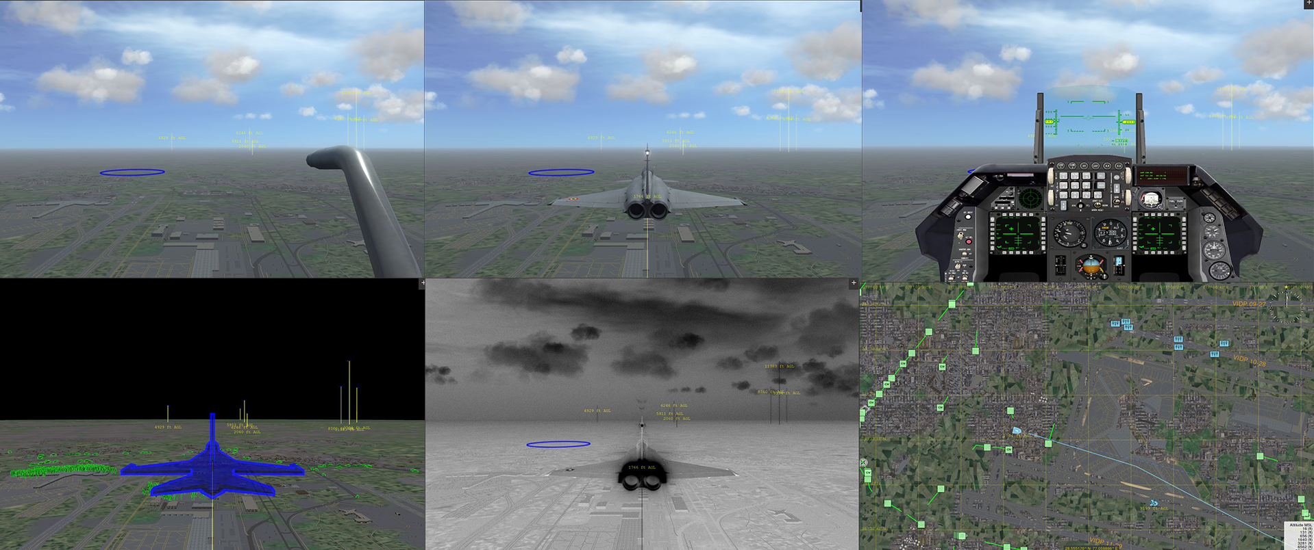
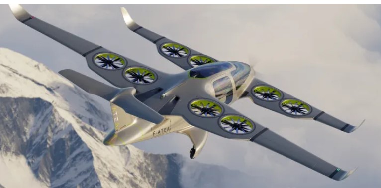
Enhancing Aviation Training with Advanced Post-Flight Review and Visualization Platform
Understanding Post-Flight Review and Visualization Post-flight visualizers (also known as flight data emulators, flight data analysis, or flight replay systems) are essential tools in modern…