Utilities
Improve planning, monitoring, and maintenance of water, gas, and power systems with GIS solutions by providing real-time data and detailed mapping of infrastructure. GIS helps identify inefficiencies, predict maintenance needs, and optimize resource allocation, leading to reduced downtime, better service delivery, and more efficient operations for utilities.
Solutions for Utilities

Optimize Electricity Transmission and Distribution with Geospatial Data and Analytics
Efficient electricity transmission and distribution are critical for delivering power to consumers reliably and cost-effectively. Esri ArcGIS helps utilities optimize their network management, improve outage response, and plan for future infrastructure development by providing real-time data and detailed geospatial insights. Through advanced mapping and spatial analytics, utilities can visualize and analyze network conditions, optimize power flow, and ensure the reliability of electricity distribution systems.

Enhance Water Supply and Sanitation Infrastructure with Geospatial Solutions
Managing water supply and sanitation infrastructure requires continuous monitoring and effective management of resources. Esri ArcGIS provides utilities with the ability to analyze, visualize, and optimize water networks. With real-time monitoring, asset tracking, and geospatial analytics, utilities can enhance the efficiency and sustainability of water distribution systems, manage sewage systems, and ensure compliance with health and environmental standards.

Improve Gas Transmission and Distribution Network Management with Geospatial Insights
Gas transmission and distribution systems require precise monitoring and efficient management to ensure safe and reliable service. Esri ArcGIS offers utilities the ability to analyze and manage gas networks by providing detailed maps, real-time data integration, and predictive analytics. By leveraging geospatial insights, utilities can optimize pipeline maintenance, reduce risks, and ensure regulatory compliance, all while improving operational efficiency.
Products
Trends

Enhance Utility Asset Management with GIS for Real-Time Tracking and Maintenance
In the utility industry, managing assets like power grids, water systems, and gas pipelines is crucial for ensuring consistent service delivery. However, utilities face challenges such as asset aging, inaccurate tracking, and inefficient maintenance practices, which can lead to service disruptions and high operational costs. ArcGIS, a leading Geographic Information System (GIS) platform, addresses these challenges by offering real-time asset tracking and detailed geographic mapping. By integrating ArcGIS, utility companies gain the ability to monitor asset conditions, predict maintenance needs, and quickly respond to incidents. This results in more efficient asset management, reduced downtime, lower maintenance costs, and improved service reliability across the utility network

Streamline Utility Network Design with GIS for Efficient Planning and Implementation
Designing and implementing utility networks, such as electricity grids, water supply systems, and gas pipelines, is a complex process that requires careful planning, accurate data, and seamless coordination. Utilities face challenges like outdated infrastructure data, inefficient routing, and the difficulty of integrating new technologies into existing networks. ArcGIS, a powerful Geographic Information System (GIS) platform, helps overcome these challenges by providing detailed spatial analysis and visualization tools. With ArcGIS, utility companies can streamline the design process by analyzing geographic data, optimizing network routes, and improving resource allocation. This results in more efficient planning, faster implementation, and a more resilient infrastructure, ultimately enhancing service delivery and reducing operational costs.

Improve Infrastructure Mapping and Visualization for Utilities with GIS
In the utility industry, accurate infrastructure mapping and visualization are essential for efficient management, maintenance, and expansion of critical networks such as electricity grids, water systems, and gas pipelines. However, utilities face challenges such as outdated mapping data, fragmented information, and the difficulty of visualizing complex networks across large geographical areas. ArcGIS, a leading Geographic Information System (GIS) platform, addresses these issues by providing advanced mapping and visualization tools that integrate real-time data with detailed spatial analysis. With ArcGIS, utility companies can create accurate, up-to-date maps, visualize network performance, and make data-driven decisions to optimize operations and maintenance. This enhances the overall management of infrastructure, improves response times, and ensures better service delivery while reducing operational costs.
Latest Blog Posts
Discover our most recent posts across all industries, branchs and topics.
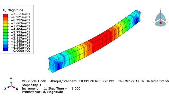
Reinforced Cement Concrete (RCC) Structure under Compression Load Conditions: ABAQUS/SIMULIA
Introduction The RCC structure displayed below is subjected to displacement under static conditions in ABAQUS GUI. The basic purpose of using RCC is to absorb…

How to model a structure undergoing global instability in Abaqus?
A nonlinear static problem can be unstable as a result of global buckling or material softening. If the load-displacement response of the model seems to…
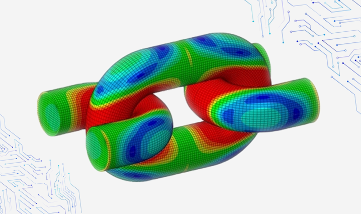
How to Enforce Contact Constraints using Augmented Lagrangian Method in Abaqus/Standard?
There are three methods of contact constraint enforcement that are available in Abaqus/Standard: The direct Lagrange multiplier method, The augmented Lagrangian method, and The penalty…

Evolution of Geospatial technology and emerging trends in the industry
A few years back, if you had to travel from point A to point B and had never been to that area, you had to…
