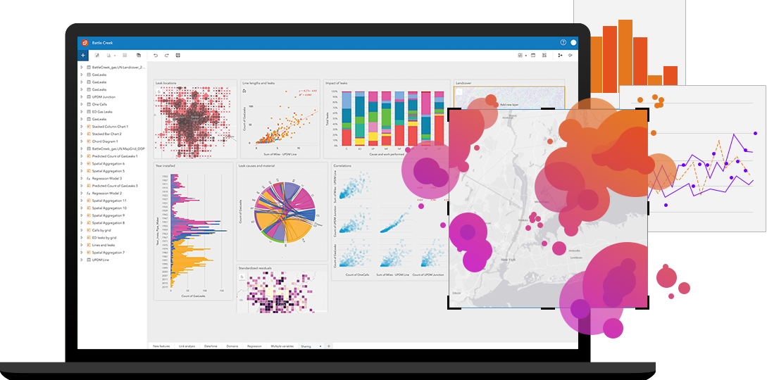
In the rapidly evolving landscape of electric vehicles (EVs), EV manufacturers and EV infrastructure developers face the critical challenge of strategically selecting optimal locations for stores, charging infrastructure, and business planning and analytics. In this context, there is immense potential to harness location analytics’ transformative potential. By leveraging cutting-edge tools and techniques, such as strategic location analysis,…
Author: Yogesh Karyakarte
Yogesh has more than 13 years of experience working in various reputed organizations such as Central universities, research organizations, NGOs, and the private sector. He is experienced in using various types of remote sensing datasets for analysing and building geodatabases. He also assists in writing project proposals, vendor management, collaboration with stakeholders and reporting to funding agencies. He is the recipient of the Nehru Grímsson Fellowship award from the President of Iceland. He is currently leading a team at EDS Technologies which provide customized solutions for analysing all types of GIS datasets for specific requirements.
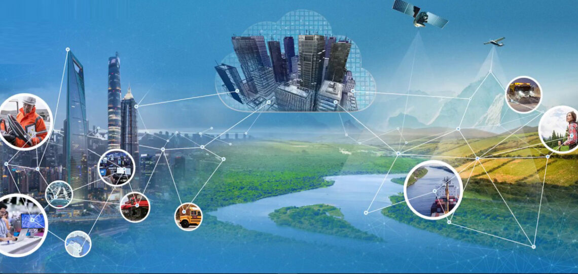
Geographic Information System (GIS) technology has been around for several decades, and it has revolutionized the way we view, analyse, and use geographic data. It is very powerful for managing, analysing, and visualizing spatial data. GIS has evolved significantly in recent years with the introduction of new technologies such as cloud computing, machine learning, and big data…
A few years back, if you had to travel from point A to point B and had never been to that area, you had to depend on the local people for directions. A few would know the exact direction. Depending on how busy they were, they directed you to your required destination. Sometimes they may also misguide…


