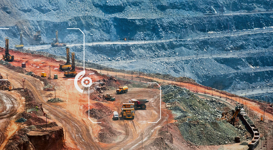
Combining advanced geological modeling with geospatial intelligence provides mining companies with unparalleled insights into resource management and operational efficiency. By integrating GEOVIA tools such as Surpac and MineSched with Esri’s powerful geospatial capabilities, companies can gain a comprehensive understanding of mining sites, optimize planning, and enhance operational safety. This synergy allows for precise geological modeling alongside advanced spatial analysis, supporting smarter decision-making and sustainable mining practices.
Benefits

Comprehensive Site Analysis
Integrate geological data with spatial analysis for comprehensive mining insights

Improved Planning and Scheduling
Integrate geospatial intelligence with geological models to create more effective mine plans

Sustainable Practices
Use spatial data to assess environmental impact and plan more sustainable mining operations

Enhanced Collaboration
Enable cross-functional teams to work with unified data, improving coordination and decision-making.

Real-Time Insights
Access real-time data for better resource management and operational efficiency
What We Offer?
Surpac and MineSched provide cutting-edge geological modeling and advanced mine scheduling tools, forming the foundation for resource optimization, operational efficiency, and strategic planning. These industry-leading solutions enable mining companies to analyze mineral deposits in high detail, assess ore quality, optimize pit design, and develop precise extraction strategies. By integrating block modeling, real-time data analysis, and AI-powered predictive simulations, Surpac and MineSched help minimize dilution, reduce operational costs, and maximize ore recovery. Additionally, they support drill and blast optimization, haulage route planning, and life-of-mine scheduling, ensuring that resources are utilized efficiently while adhering to environmental regulations and sustainability goals.

Esri’s GIS solutions, such as ArcGIS, add a critical layer of spatial intelligence and geospatial analytics to mining operations. By mapping mining sites, analyzing terrain, and integrating real-time spatial data, Esri enables companies to assess infrastructure, monitor environmental impacts, and optimize resource management. These capabilities, when integrated with GEOVIA tools, create a comprehensive digital twin of mining assets, enhancing decision-making with a unified view of geological, geotechnical, and spatial data. Additionally, Esri’s GIS solutions support mine planning, risk assessment, regulatory compliance, and sustainable land reclamation efforts, ensuring efficient, safe, and responsible mining operations.
Harness Geological and Spatial Expertise for Smarter Mining
Enhance mining operations with advanced geological modeling and geospatial analysis. Optimize resource planning and scheduling with tools from GEOVIA and Esri.