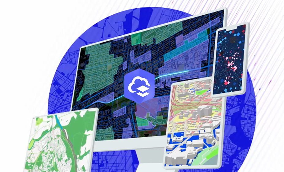
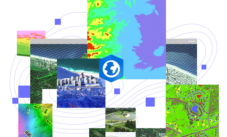
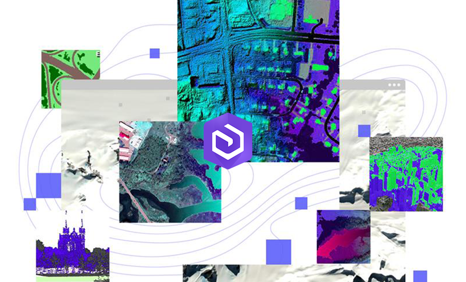
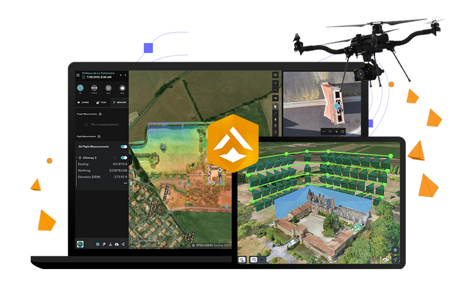
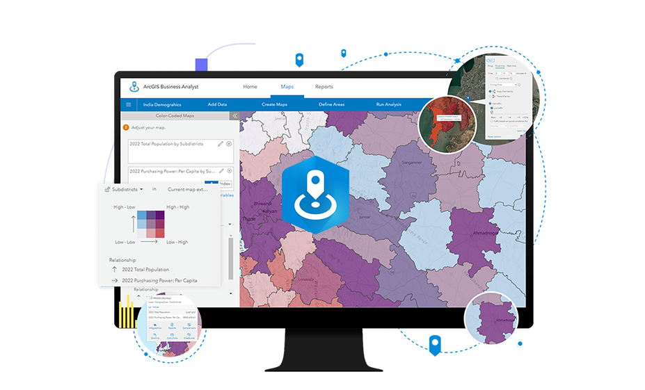
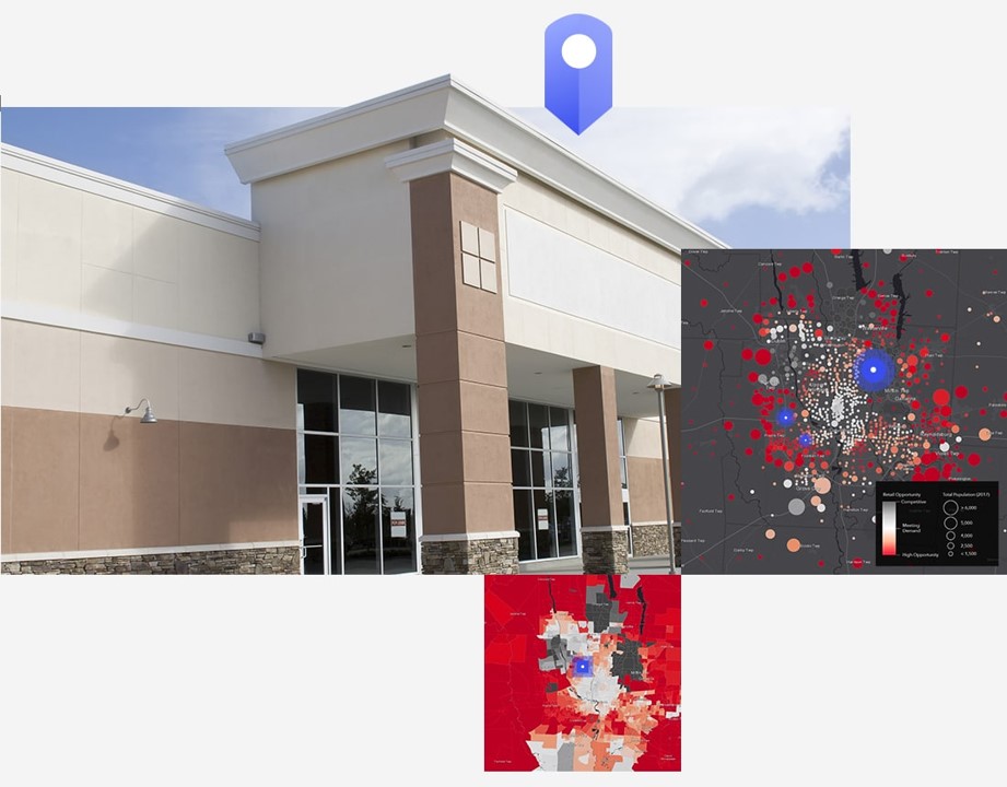
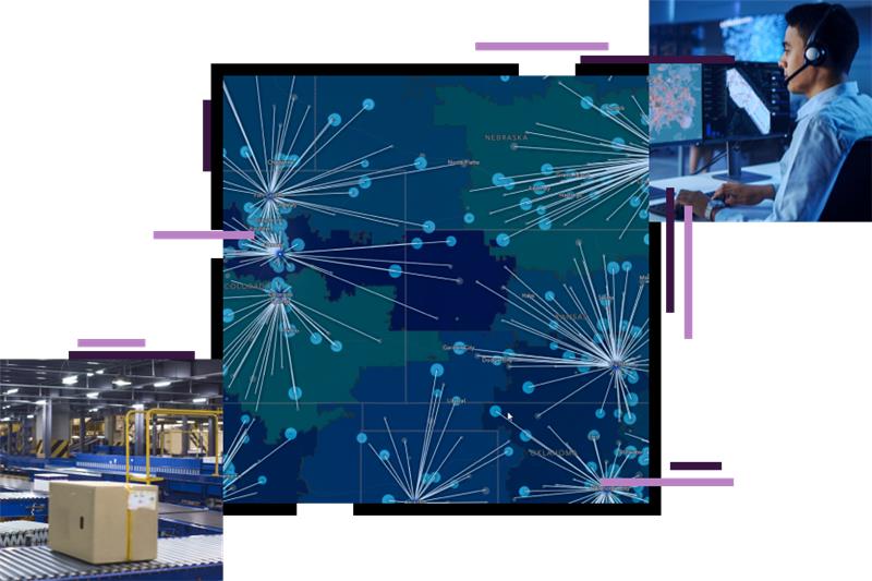
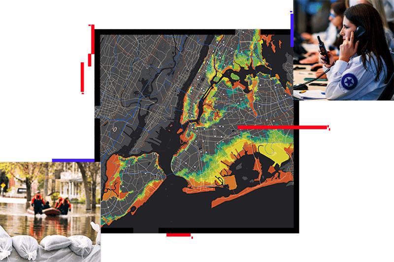
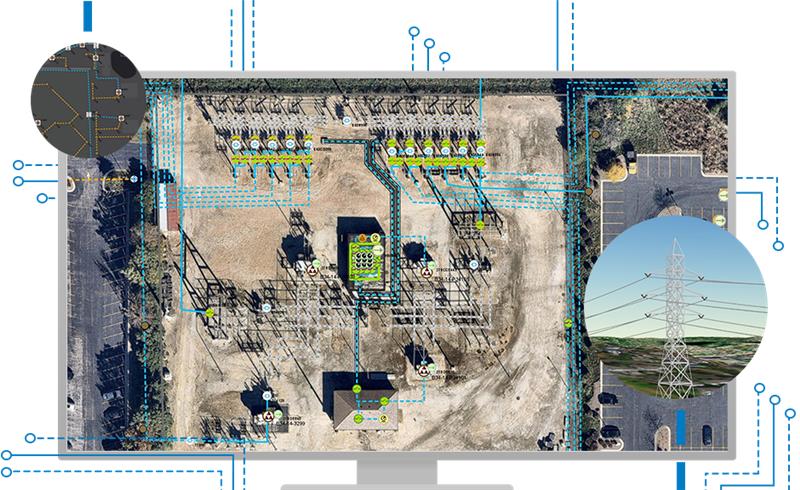
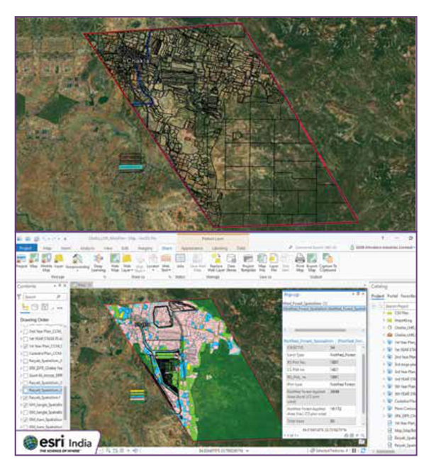
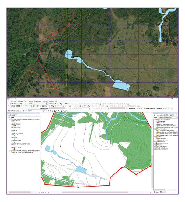
ArcGIS for Mining redefines how geographic information systems (GIS) technology is utilized in the mining sector. Developed by Esri, this platform provides comprehensive tools for analyzing, visualizing, and managing spatial data critical to mining operations. From exploration and resource estimation to environmental impact assessment and community engagement, ArcGIS empowers mining professionals to make informed decisions that enhance efficiency, safety, and sustainability across all stages of the mining process.
Discover Other Products
