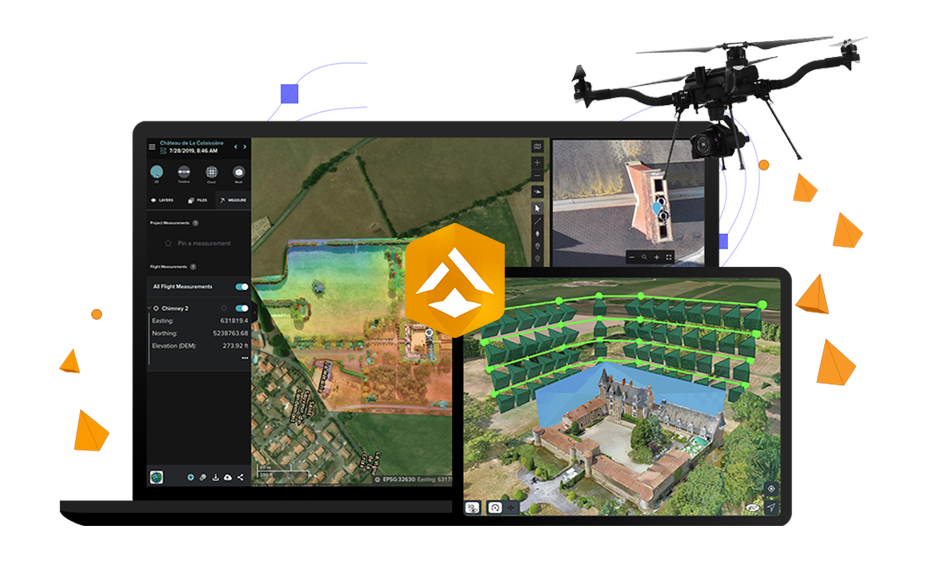
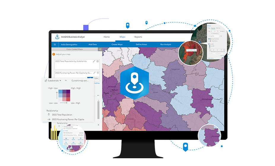
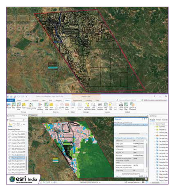
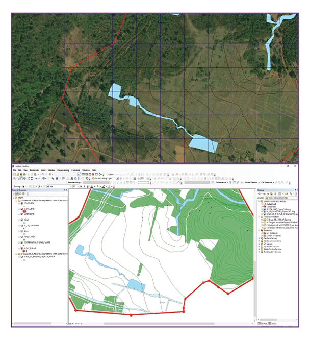
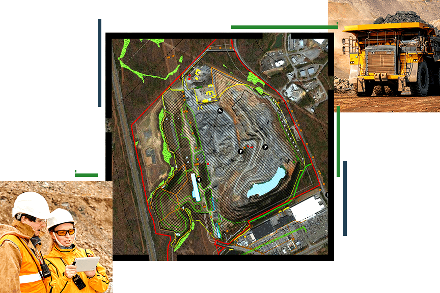
Fuelled by the Esri Geospatial Cloud, enabling enhanced analysis, management, and organization-wide collaboration. With access to imagery and remote sensing data feeds within top-tier location-based intelligence software, timely and data-driven solutions become attainable for your business needs.
Global Insights
ArcGIS offers the most extensive online compilation of imagery, terrain, and geospatial data layers globally, enriching your projects with valuable context and understanding
Visualization & Exploitation
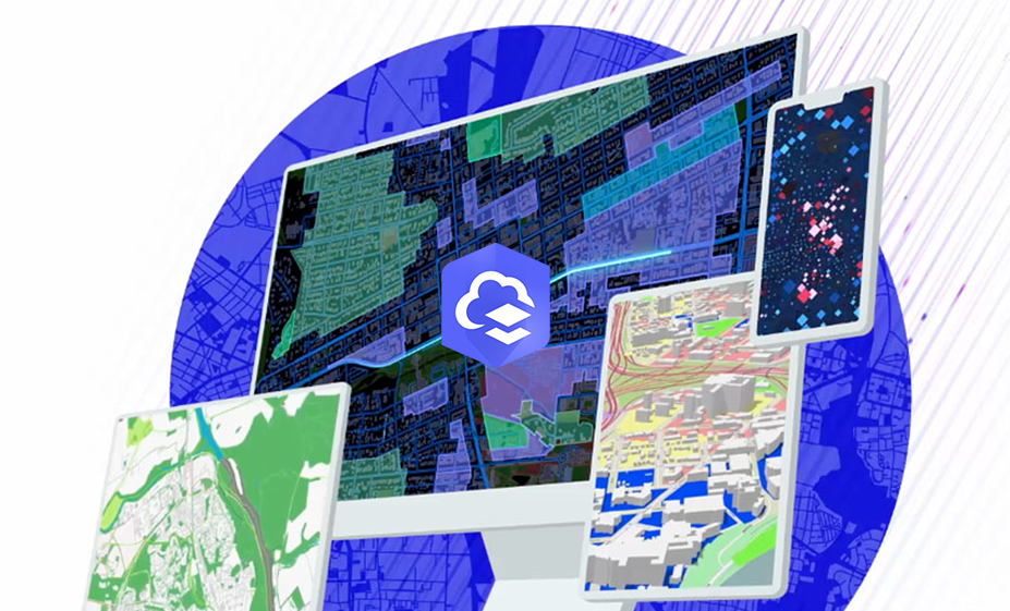
Unlock the potential of Earth observations with versatile desktop, web, and mobile applications that facilitate informed decision-making.
Geospatial Insights
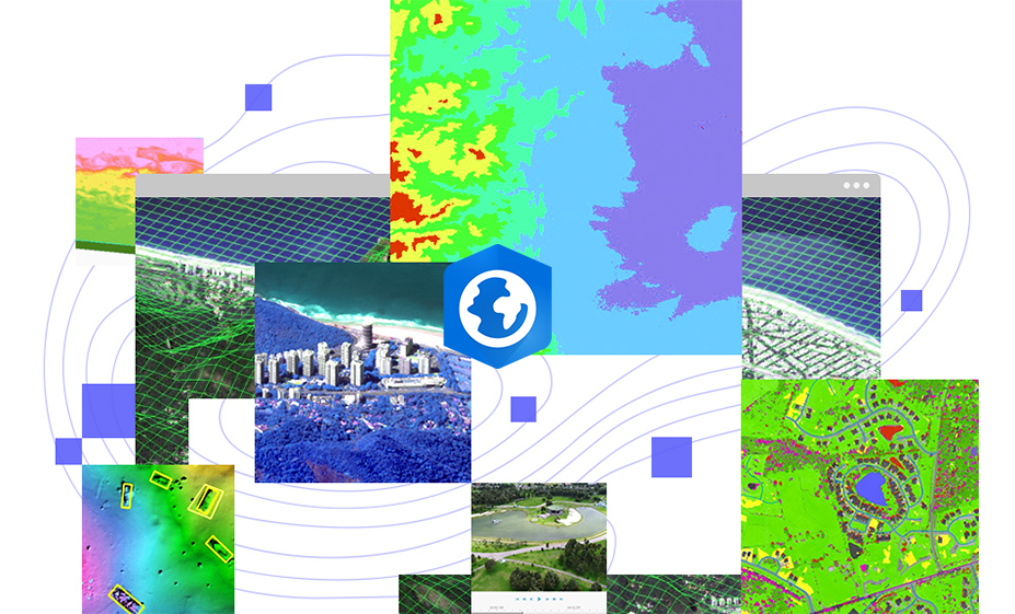
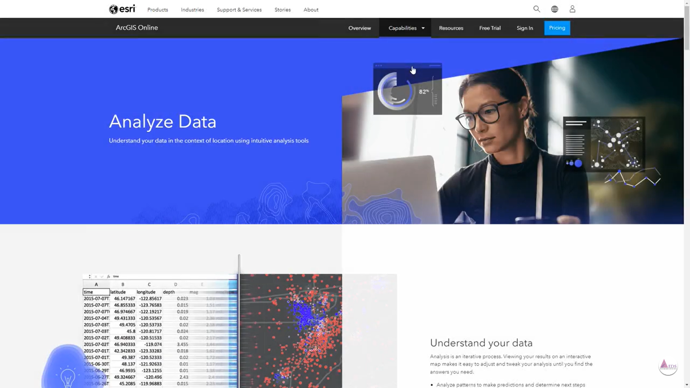
Retrieve location-specific insights from geospatial data, including land-cover classification, objects, features, and Earth transformations.
Image Management and Analysis
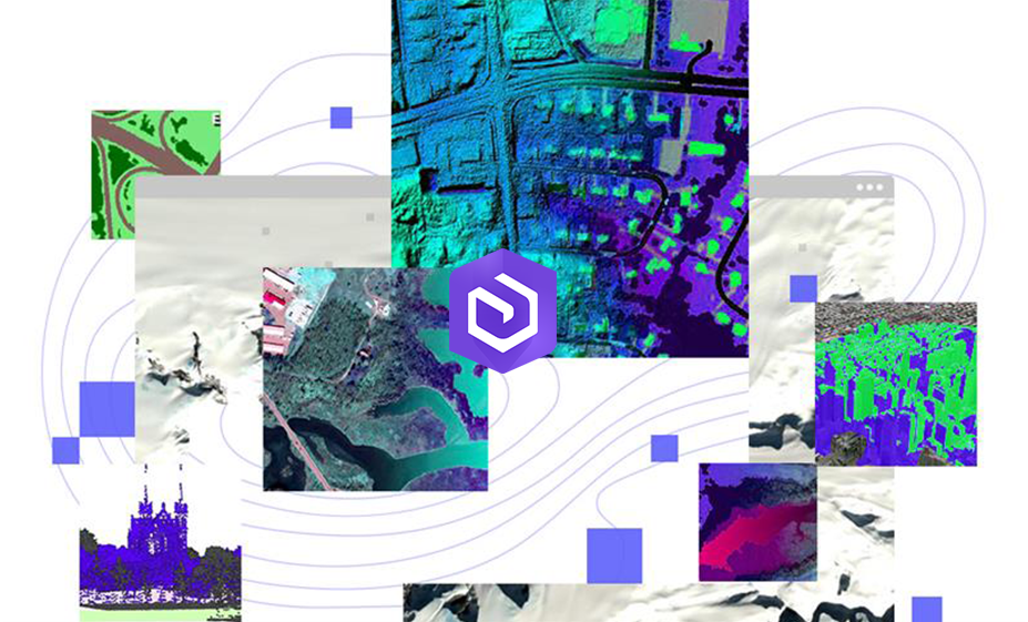
Organize your collection of images for efficient and secure storage or publication as web services. Easily access, expand, and unleash the wealth of information within.
Map Production
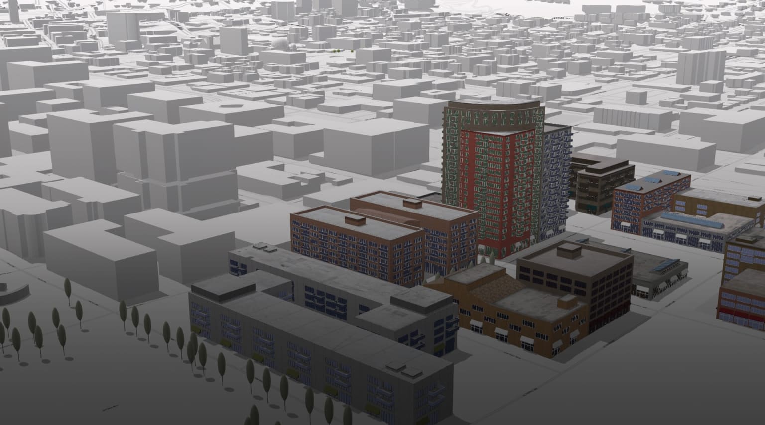
Generate imagery-based products with authority, including Ortho mosaics, digital elevation models, 3D meshes, and topographic maps.


