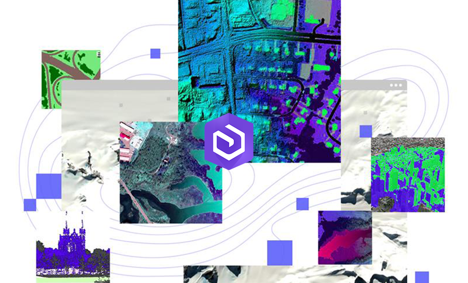
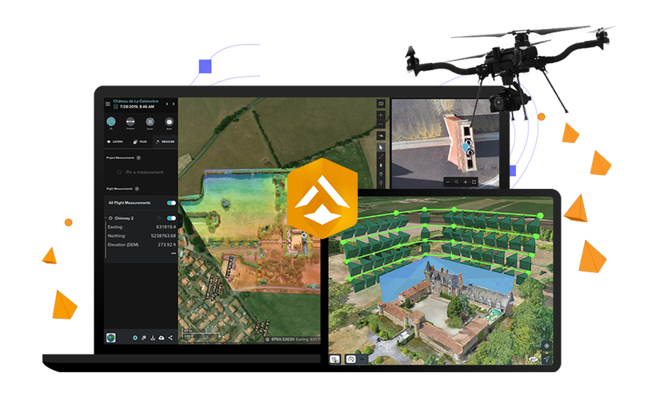
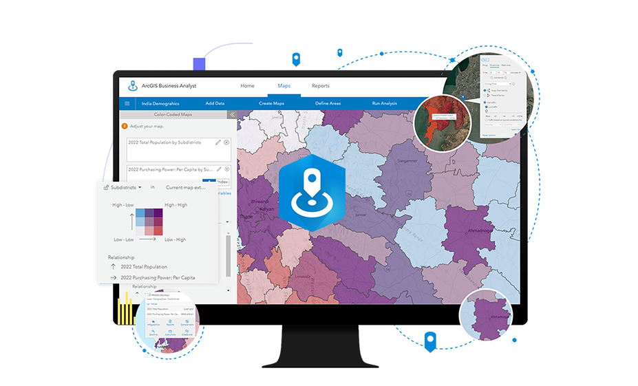
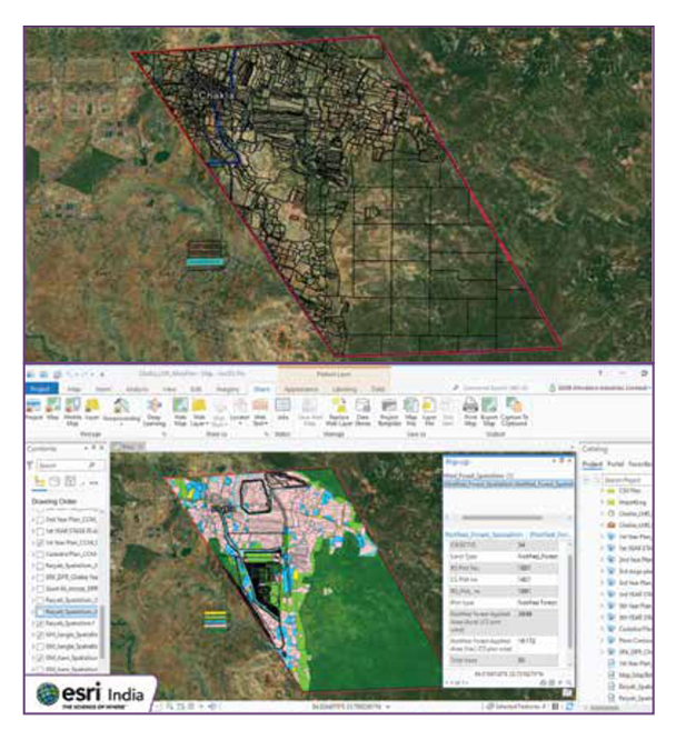
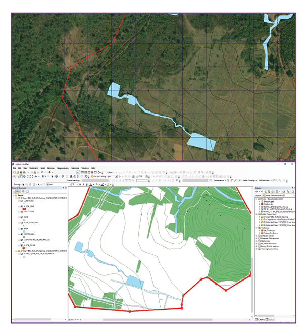
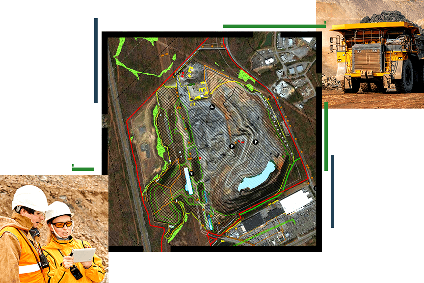
Organizations today are grappling with unprecedented volumes and varieties of data, spanning imagery, 3D, real-time streams, and big data. As the diversity and scale of data continue to expand, we recognize the multitude of its origins—be it customer records, environmental metrics, or sensor readings. With ArcGIS, you gain the capability to centralize and administer this data from any location, empowering your team to drive informed decisions and elevate efficiency organization-wide. Position ArcGIS as the cornerstone of your spatial data storage and GIS data management processes, enabling seamless collection, storage, maintenance, preparation, and sharing of your valuable data assets.
Get the right data
To commence your workflow effectively, you can collect new data, integrate existing datasets, or utilize Esri's ready-to-use resources. ArcGIS equips you with versatile tools to access the data you need, supporting various formats and offering industry-specific solutions for field data capture. Seamlessly connect to your existing data or leverage ArcGIS Living Atlas of the World, providing authoritative global geographic information curated by Esri.
Store data your way
Esri caters to your data storage preferences, wherever they may lie. Whether you wish to connect to existing databases or incorporate live data for mapping and analysis, Esri has you covered. If you lack an existing database, worry not. With ArcGIS Enterprise and ArcGIS Online, you enjoy built-in data storage solutions, ensuring comprehensive coverage both now and as your data expands.
Work smarter with accurate data
For round-the-clock decision-making, Esri ensures you have current and precise data at your fingertips. Our tools streamline data processes, conducting thorough checks to guarantee quality and accuracy. Additionally, Esri empowers you to establish user- or system-defined rules to maintain attribute and spatial integrity. Whether editing on desktop, web, or mobile apps, the choice is yours to ensure seamless data management.
Accurate data at your fingertips
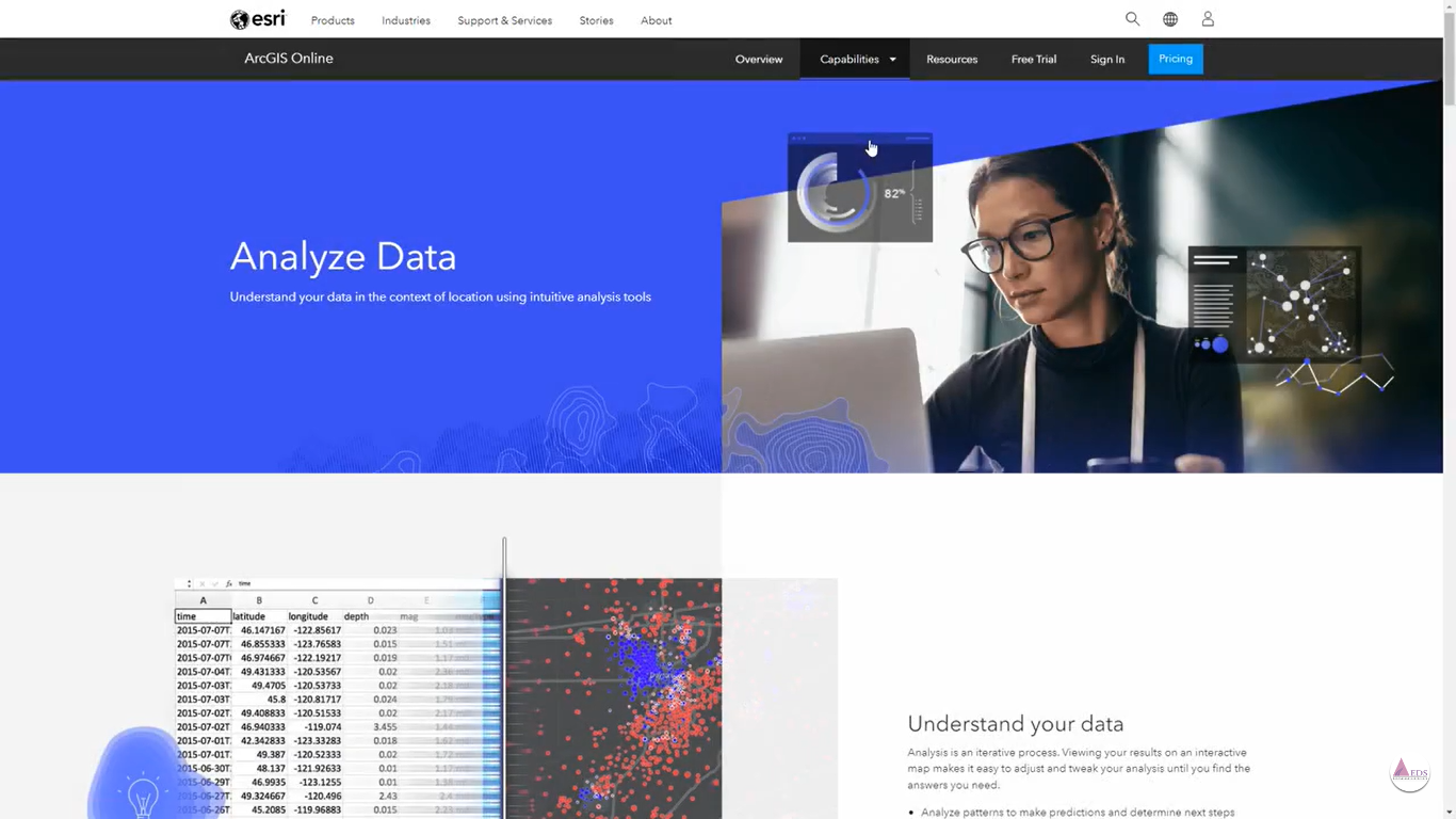
Prepared data is vital for effective visualization and modeling tasks. Esri offers a spectrum of tools, from basic to advanced, catering to your organization's critical inquiries. With our GIS data management features, you can enrich, visualize, and model your data effortlessly. Alternatively, kickstart your projects with Living Atlas, Esri's trusted dataset. Additionally, as part of the ArcGIS ecosystem, you gain access to Esri's robust data modeling and spatial analytics solutions, enhancing your data comprehension.
Empower others with data
Sharing your data narrative is crucial for informing and mobilizing your audience. Utilize your data information products to raise awareness about critical issues and foster collaborative problem-solving. With ArcGIS technology, you have the flexibility to share your data according to your preferences—from targeted groups to the broader public. Leveraging tools like ArcGIS Dashboards and ArcGIS Hub, Esri's sharing capabilities empower you to disseminate your data story effectively, enabling enhanced collaboration and problem resolution.


