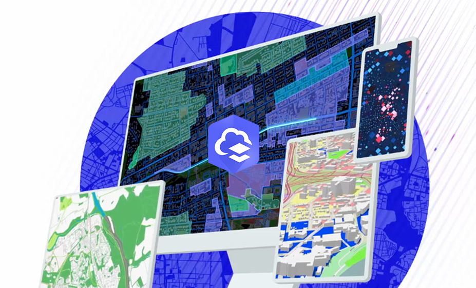
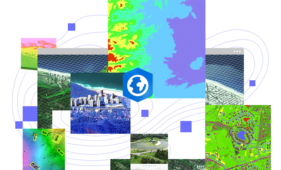
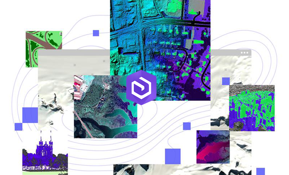
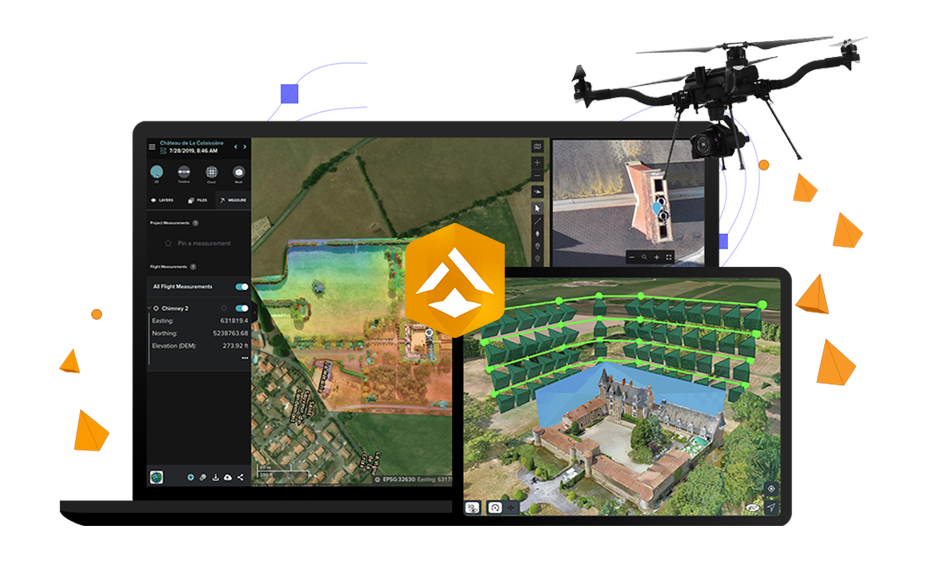
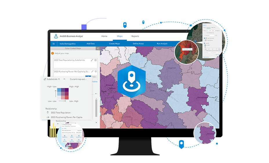
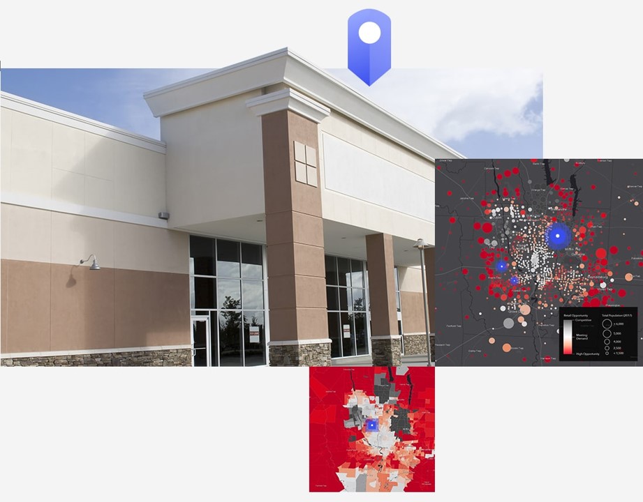
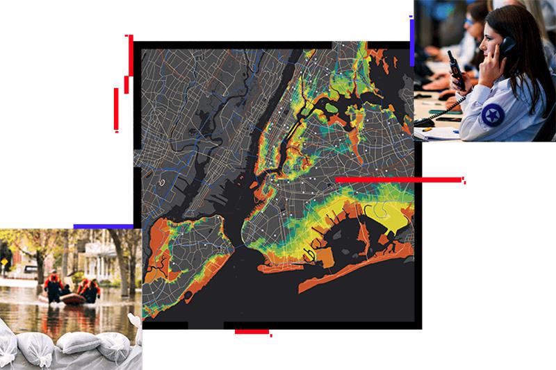
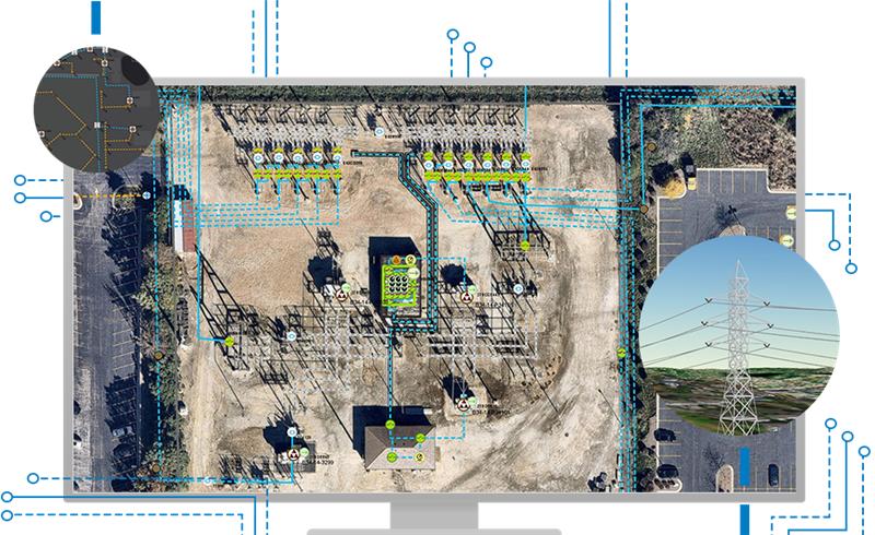
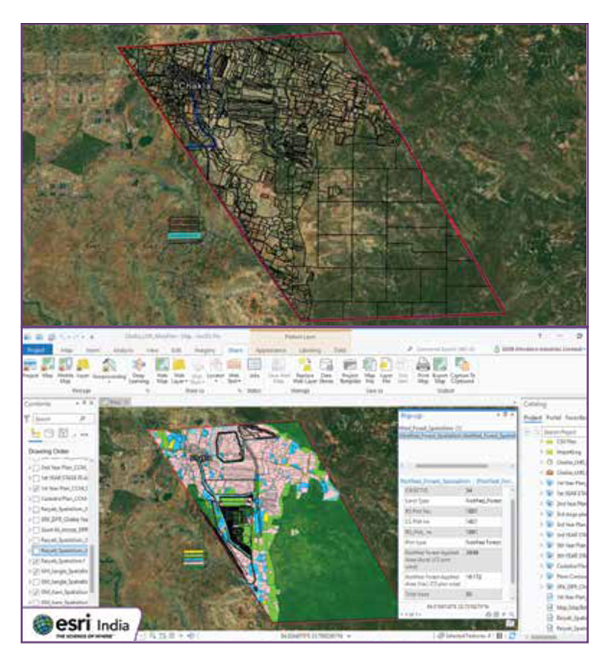
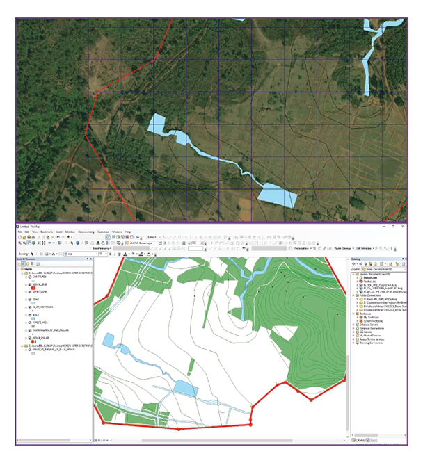
ArcGIS for Architecture, Engineering, and Construction (AEC) revolutionizes project efficiency and collaboration through advanced GIS technology. It offers 3D visualization and spatial analysis for superior site planning, integrates with Building Information Modeling (BIM) for precise design and construction monitoring, and enhances asset management from development to maintenance. By enabling real-time data sharing and stakeholder engagement, ArcGIS improves decision-making, boosts operational efficiency, and supports sustainable project practices, making it an essential tool for modern AEC professionals.

Discover Other Products
