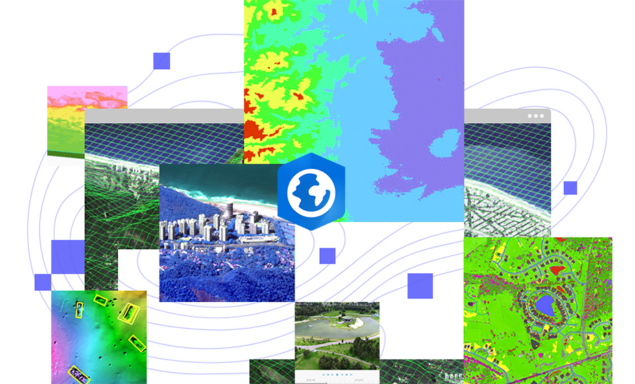
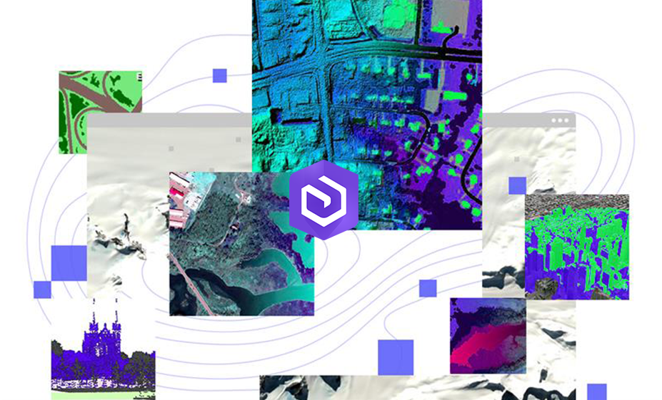
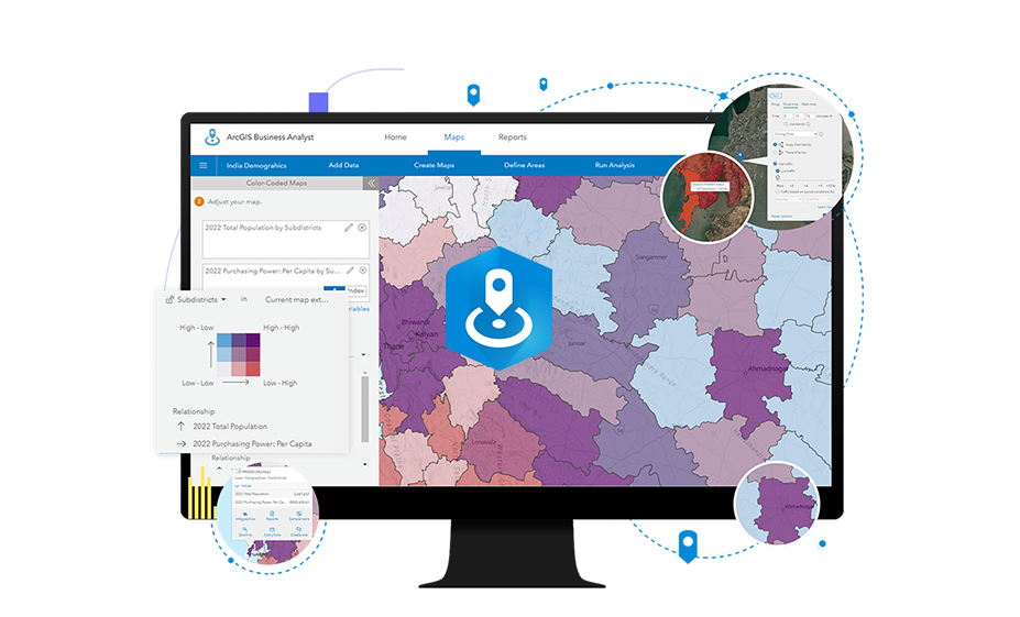
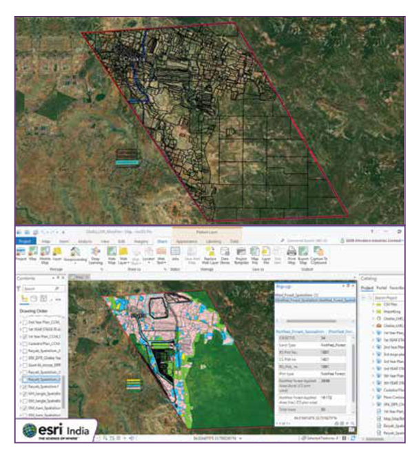
Site Scan for ArcGIS, part of the ArcGIS Reality suite, is a cloud-based drone mapping software that revolutionizes drone imagery data collection, processing, and analysis. It offers automatic fleet management, repeatable flight plans, and scalable cloud processing to create high-quality 2D and 3D imagery products. Users can perform advanced drone analytics, such as object detection and AI applications, and share data seamlessly within their organization. With tools for autonomous 3D flight planning, data management, and real-time analysis, Site Scan for ArcGIS enhances efficiency and ensures high-quality, accurate data capture for all drone operations.
Features

Plan Drone Flights in 3D
Site Scan for ArcGIS is cloud-based drone mapping software that transforms how you collect and analyze imagery. It offers automatic fleet management, repeatable flight plans, and ensures high-quality data capture.

Advanced Analysis in ArcGIS
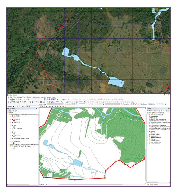
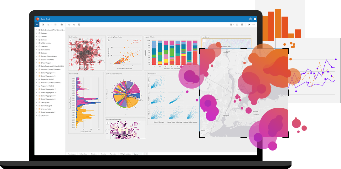
Site Scan aerial photogrammetry data is accessible in ArcGIS, enabling advanced analytics like object detection with ArcGIS Image Analyst. Integrate drone imagery with BIM, lidar, and IoT data for comprehensive insights.

Drone Analytics
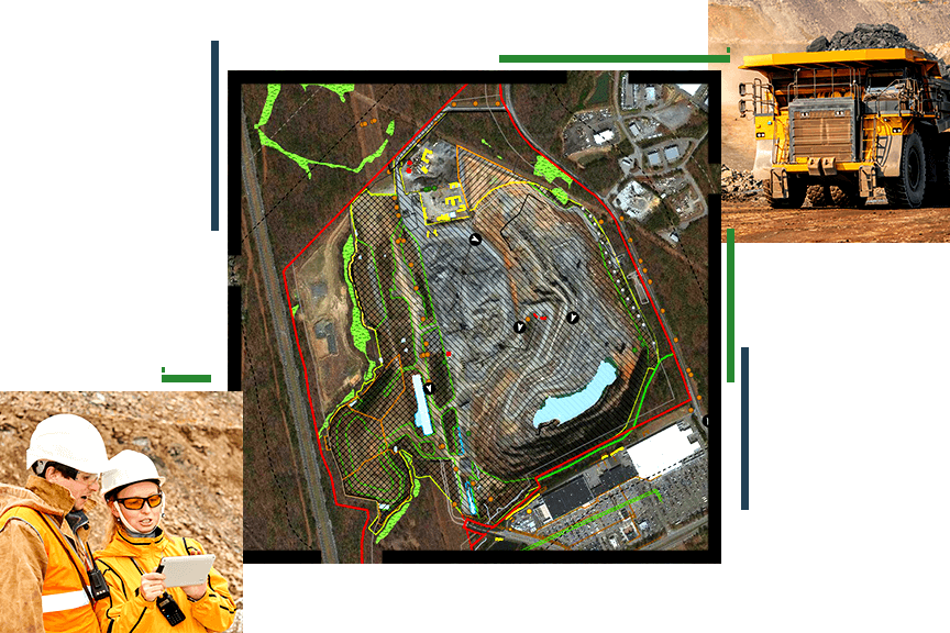
Plan 3D autonomous drone flights, enhancing efficiency by sharing advanced flight plans. Overlay 2D and 3D data to improve safety and quality, managing data in the field for easy cloud access.

Quickly Share Data
Share information with stakeholders in 3D views, reports, or maps through ArcGIS Online or Enterprise. Invite users to analyze data in Site Scan Manager or export for broader access.

Enterprise Fleet Management
Site Scan Manager's fleet management system lets drone program managers access detailed flight and asset data from the Site Scan Flight app, providing valuable insights into drone activities and assets.

Process in the India Cloud
Site Scan for ArcGIS is a cloud-based drone mapping software that revolutionizes data collection and analysis in India. Repeatable flight plans ensure high-quality imagery for informed decision-making.
Trends
References
Latest Blog Posts
Discover Our Most Recent Posts Across all Industries, Brands and Topics.
