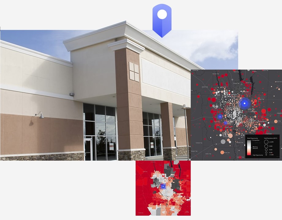
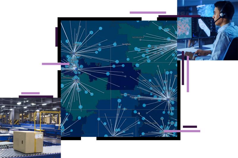
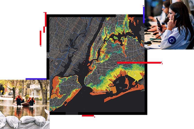
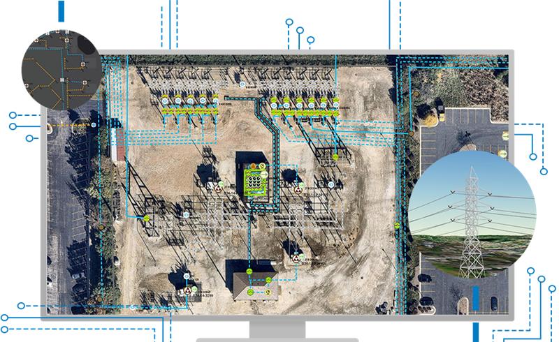
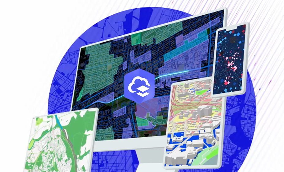
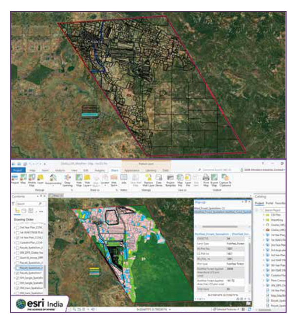
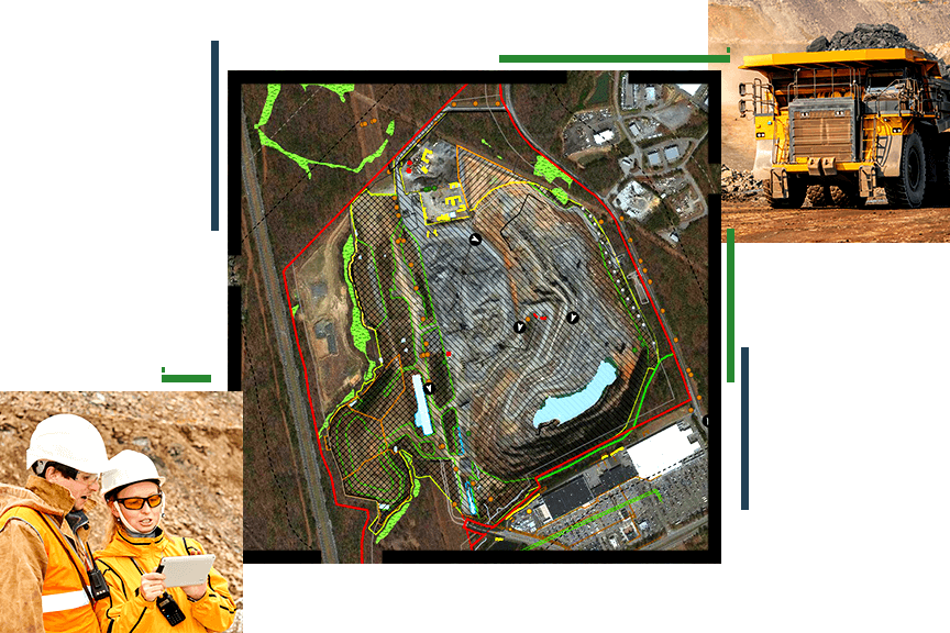
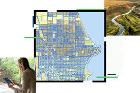
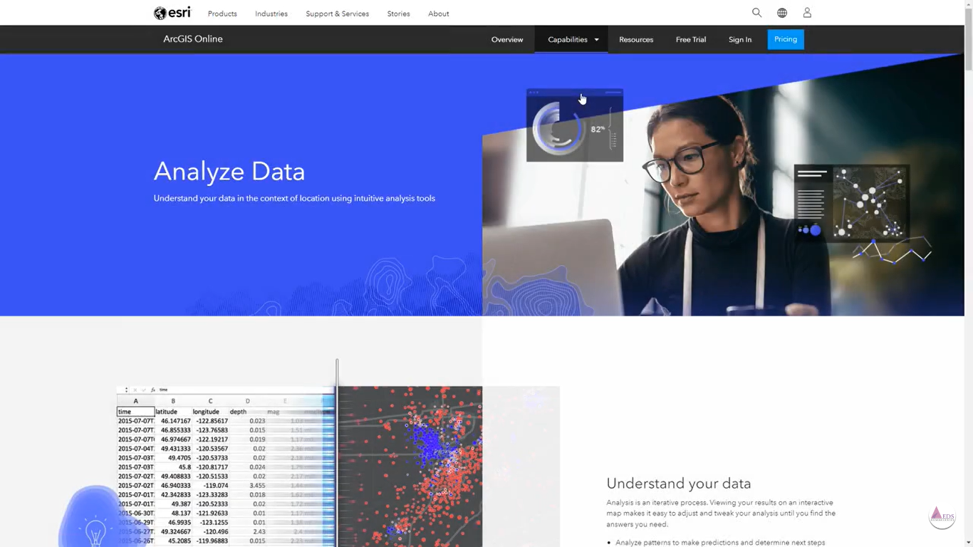
ArcGIS Pro is a powerful geographic information system (GIS) software developed by Esri. It serves as a comprehensive platform for creating, analyzing, managing, and sharing spatial data in various industries such as urban planning, environmental science, public health, and more. Launched as the next-generation GIS software, ArcGIS Pro offers an intuitive and user-friendly interface, supporting both 2D and 3D mapping, advanced visualization, and spatial analysis capabilities. It allows users to integrate multiple data sources, including satellite imagery, GPS data, and demographic information, enabling informed decision-making processes. With its extensive range of tools and functionalities, ArcGIS Pro has become an essential tool for professionals and organizations working with geographic data to solve complex spatial challenges and create impactful maps and visualizations.
Features
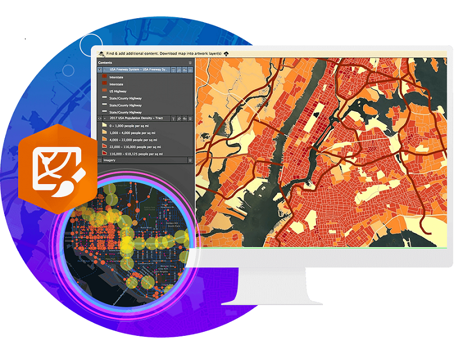
Cartography and Visualization
ArcGIS Pro offers powerful geoprocessing tools and 2D/3D visualization. Features include deep thematic resources, intelligent labeling, extensive layout options, and customizable symbols to empower mapmakers.

Automation
ArcGIS Pro, a professional GIS desktop app, automates key tasks like analysis, editing, and visualization, enhancing workflows and user experience despite requiring expert use for many tasks.

Analytics and Data Science
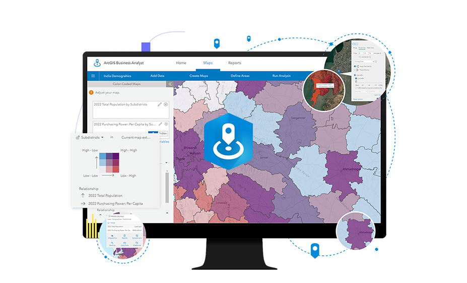
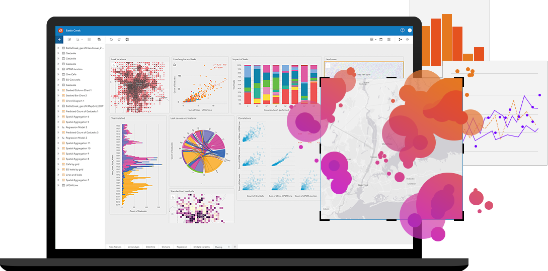
Mapping your data reveals insights, uncovers patterns, and aids problem-solving. Analyze locations to assess trends and make informed decisions, gaining new perspectives for better decision-making.
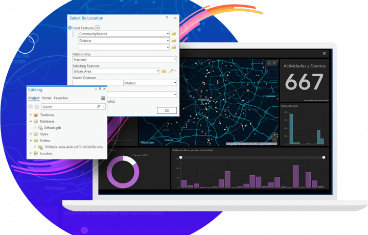
Data Editing and Management
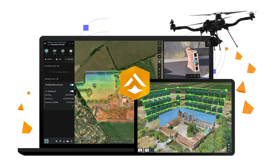
A modern data editing system enables structured data management and editing through web and mobile platforms. It supports advanced data models, enforces quality, and accommodates crowdsourcing scenarios.

Imagery
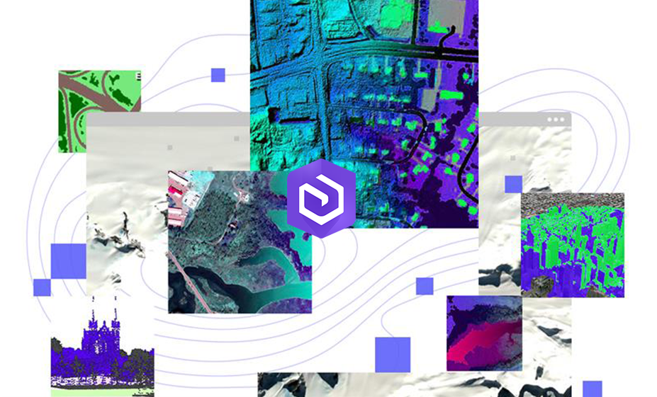
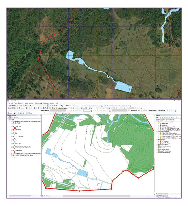
ArcGIS Pro is a powerful tool for working with imagery and raster data. It help to visualize, manage, process, and analyze information, which is essential for creating and maintaining accurate maps and GIS layers.
Artificial Intelligence (AI)
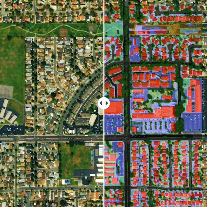
Integrating AI with location intelligence helps organizations save time, derive value from data, and make quicker decisions. This combination enhances operational effectiveness through real-world context in GIS.
Trends
References
Latest Blog Posts
Discover Our Most Recent Posts Across all Industries, Brands and Topics.
