ArcGIS Online is a secure mapping and spatial analysis software as a service (SaaS) platform that empowers your organization to unlock geospatial insights. Built on scalable and resilient technology, your organization can collect and manage data, analyze it, and improve decision-making by easily sharing maps and apps. Seamlessly collaborate with the help of a configurable sharing model and a variety of integrated apps and capabilities.
Features

Make Maps
Interactive maps turn static visuals into immersive experiences, allowing dynamic data exploration. Zoom, search, and interact to reveal enhanced details and new perspectives, offering deeper insights.

Share and Collaborate
ArcGIS Online lets you share maps and geospatial content, enabling effective collaboration. Share with specific members, your organization, or the public based on your needs.

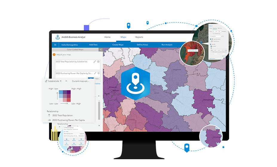
Analyze Your Data
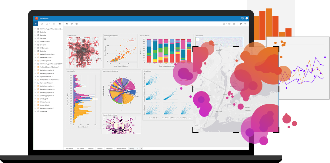
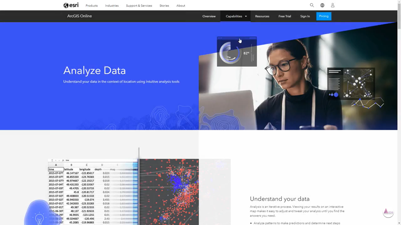
Analysis is an iterative process, and interactive maps make it easy to refine your results. By visualizing data on dynamic maps, you can continuously adjust and tweak your analysis to uncover the insights you need.

Work with Your Data
Collect and process the data efficiently with ArcGIS field apps. Manage from one source layer, simplify workflows, and enhance analysis using SQL or Arcade scripting languages.
Trends
References
Latest Blog Posts
Discover Our Most Recent Posts Across all Industries, Brands and Topics.
