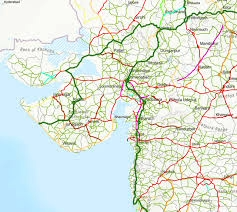
The world of 3D Geographic Information Systems (GIS), where traditional mapping evolves into an immersive, multidimensional experience. With 3D GIS, spatial data gains depth, offering realistic visualizations and unlocking new insights into our environment. Join us on a journey beyond traditional cartography as we explore landscapes, urban environments, and infrastructure in a transformative way.

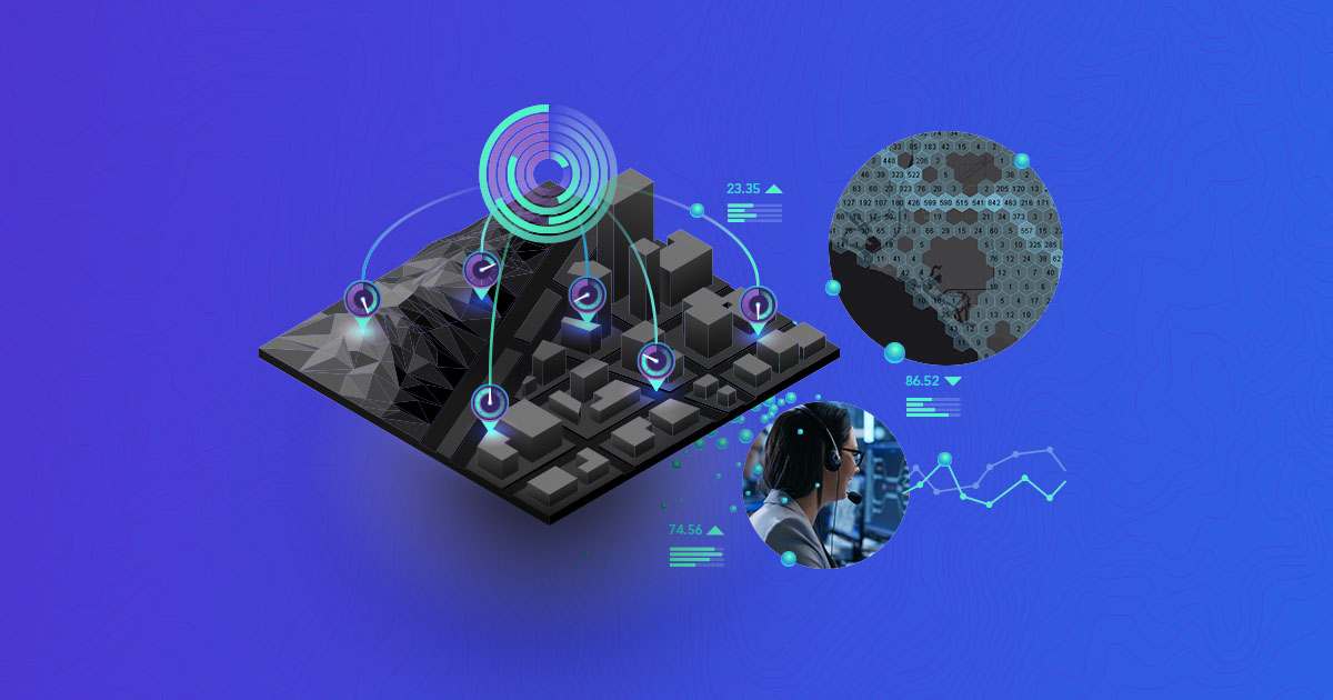
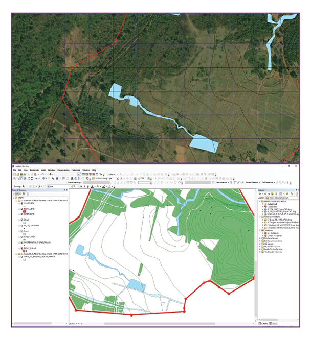
Dimensional Visualization
Add dimension to your data. Create the as-built environment or conceptualize your vision.

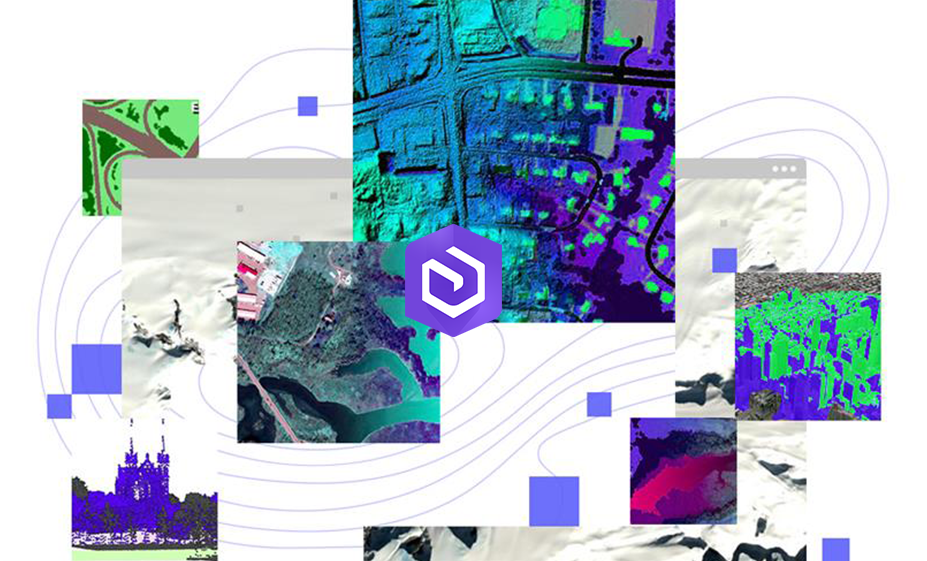
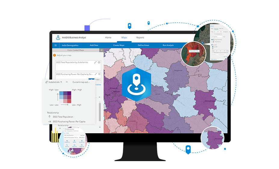
Data Insight
Extract value from your raw data to solve problems and understand the big picture.

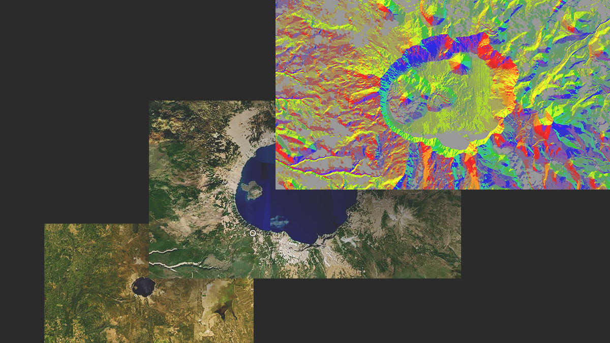
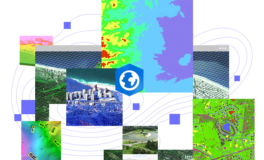
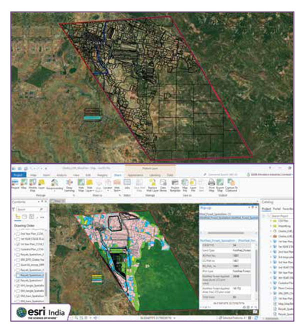
3D Insight
Use 3D models and data visualizations to see patterns, trends, and non-obvious relationships.

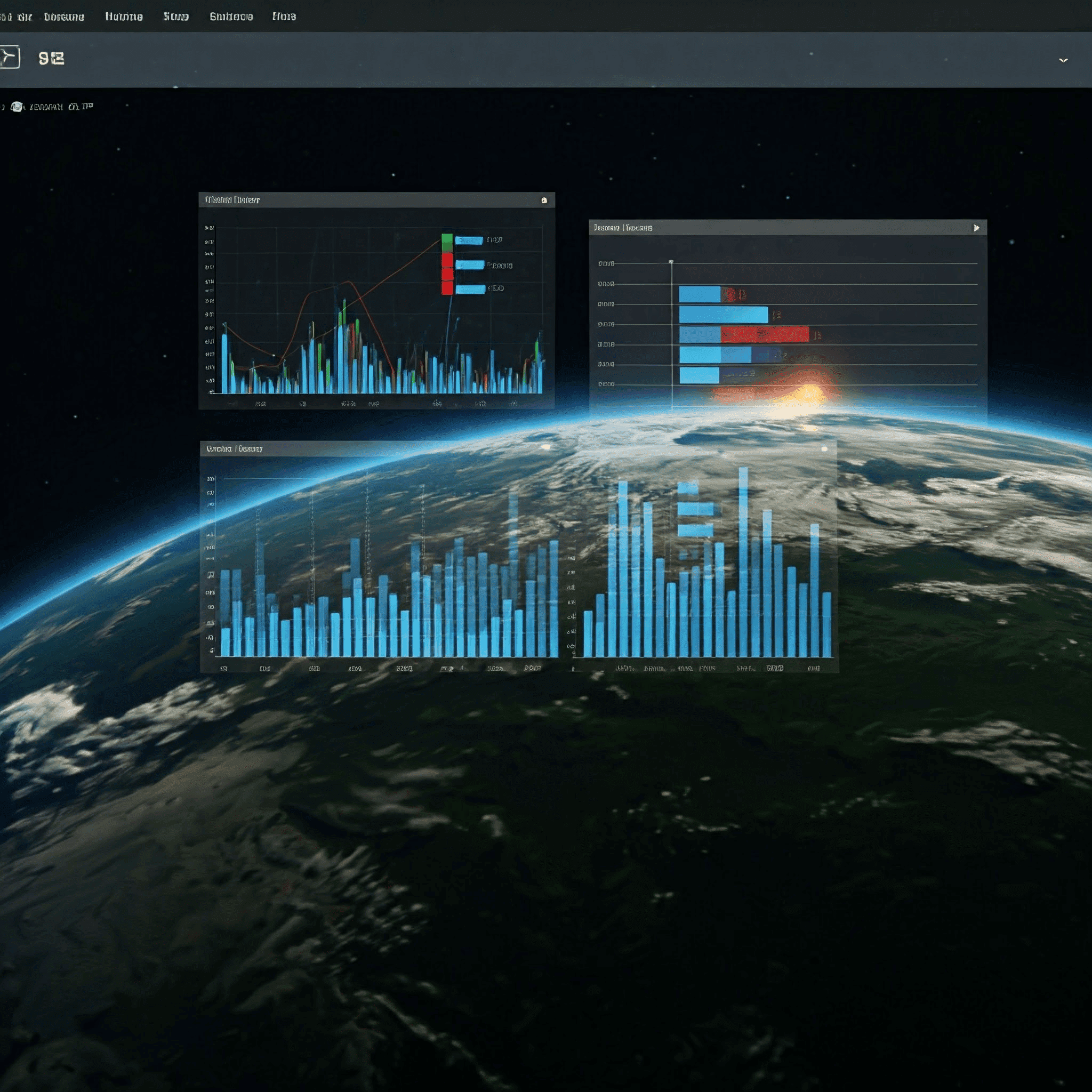
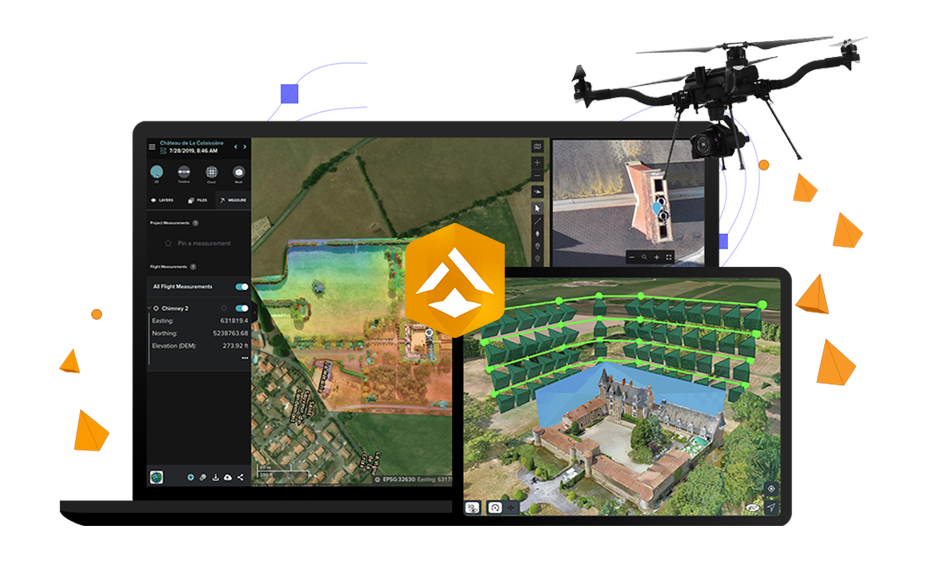
3D Collaboration
Share ideas, concepts, and your work with others in 3D.
Explore Other Capabilities


Discover Corresponding Products
Resources

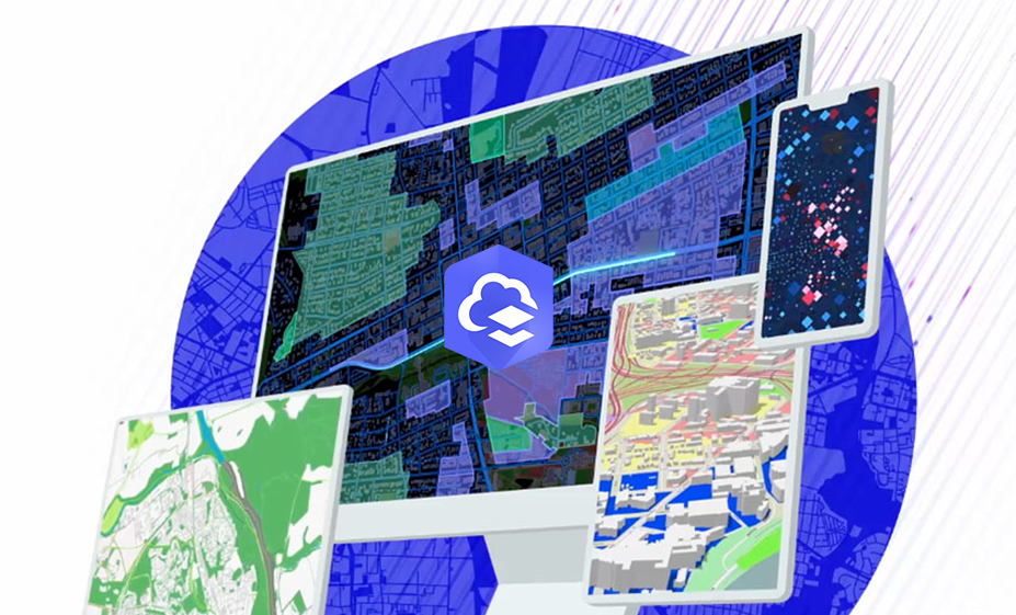
ArcGIS- Apply Geography to Every Decision
Use maps that are based on accurate, authoritative data to guide your decision making. See…
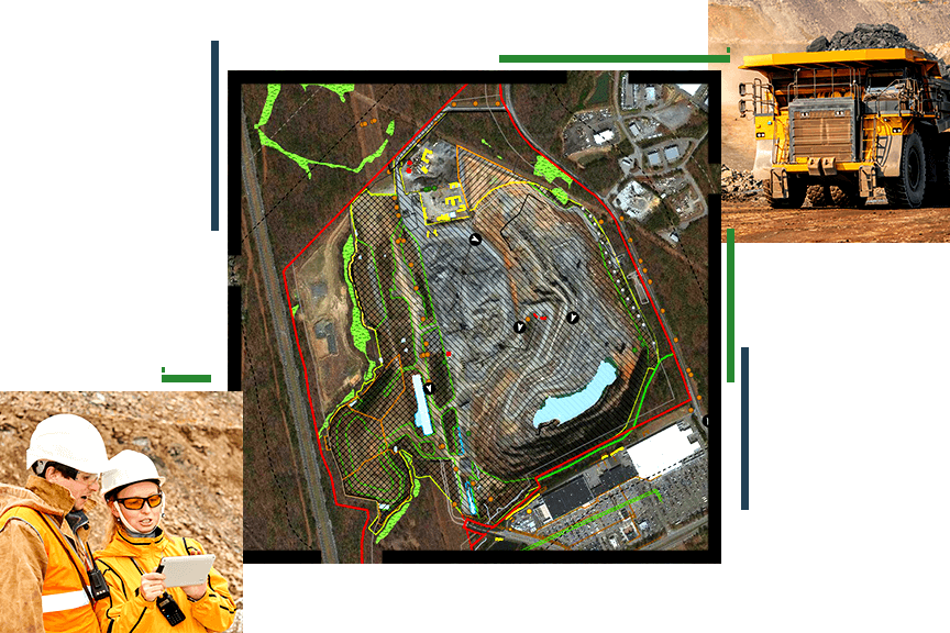
Enhancing Mineral Resource Development with ESRI’s GIS Solutions
Location Intelligence is fundamental across the mining life cycle, from mineral exploration to mine remediation.…
Efficient Land Data & Workflow Management with GIS
GIS applications are instrumental in land management systems, supporting cadastral mapping, land use planning, environmental…
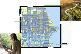
Collaborate & Organize Seamlessly with ArcGIS Online
Discover how to effectively use groups in ArcGIS Online to streamline content organization, enhance data…
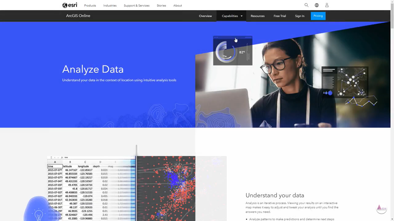
Unlock Spatial Insights with Map Viewer in ArcGIS Online
Unlock the Power of Spatial Analysis in ArcGIS Online to harness the potential of spatial…