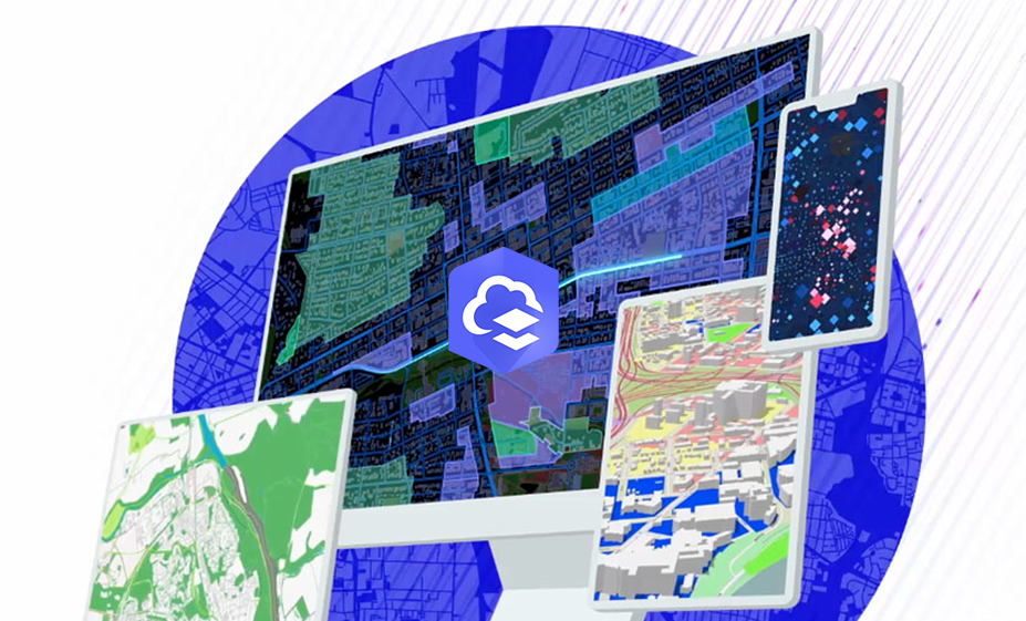
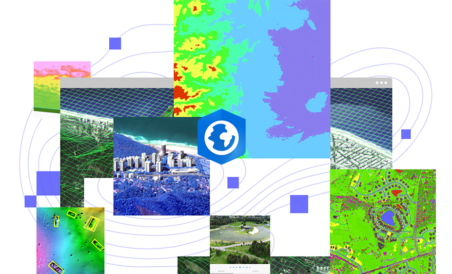
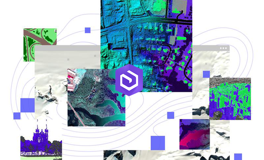
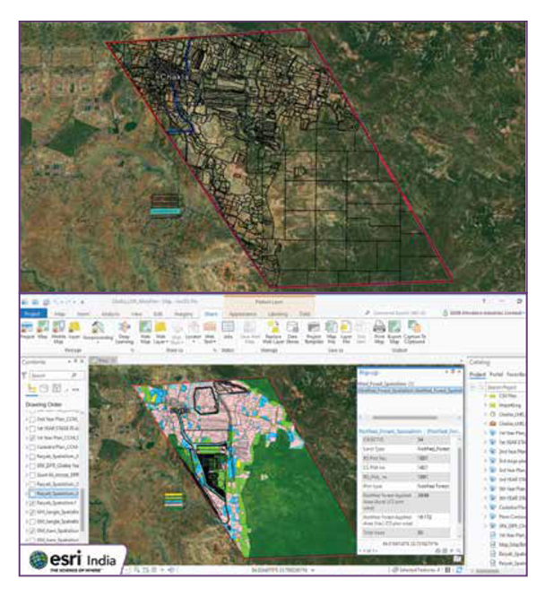
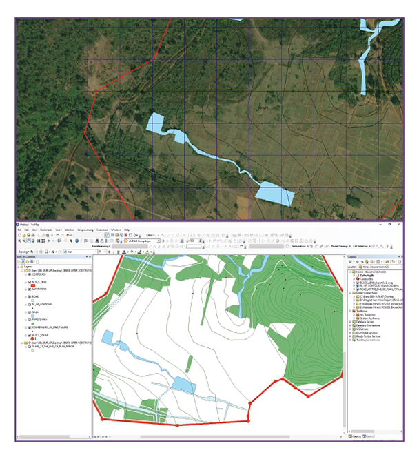
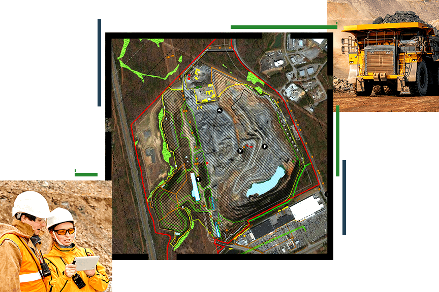
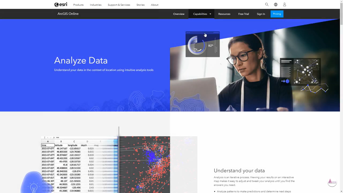
ArcGIS is a powerful geographic information system (GIS) platform used extensively in the mining industry to enhance decision-making and operational efficiency. It enables mining companies to visualize and analyze geospatial data, manage natural resources, and optimize exploration and extraction processes. By integrating various data sources, ArcGIS provides comprehensive mapping, spatial analysis, and data management tools, helping mining professionals to identify mineral deposits, assess environmental impacts, and streamline project planning. Its advanced capabilities support better resource management, risk assessment, and regulatory compliance, driving more sustainable and profitable mining operations.
Mine Survey
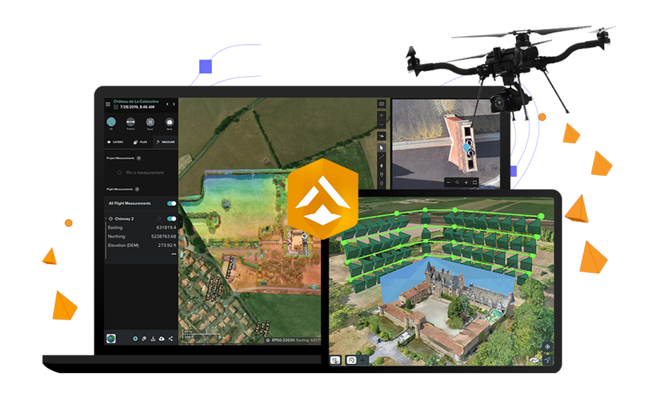
Advanced drone technology enables precise land use and land cover analysis, accurate mapping, and volumetric estimation for mining surveys. Enhance operational efficiency and decision-making with our comprehensive and innovative surveying solutions.
Mine Planning
GIS enhances mining operations by managing ore passes, ramps, and waste disposal. It optimizes road networks and vehicle routes, provides a comprehensive work environment view, and aids in assessing mining impacts on nearby communities for thorough impact assessments.
Asset Management
GIS and GPS technology enable real-time tracking of mining equipment. Managers can monitor dump truck status, direction, velocity, and load size, and efficiently dispatch haul trucks and drills. GIS ensures precise grade control and asset monitoring.
Mine Safety
ESRI’s GIS software enhances mine safety with 3D modeling and network analysis. It aids in siting refuge chambers, planning evacuation routes, and ensuring optimal safety feature placement, improving the production environment and emergency preparedness.
Mine Closure and Reclamation
Mining companies use GIS to monitor and mitigate environmental impacts. ESRI promotes sustainable development with applications for environmental studies. The EQuIS ArcView® interface integrates tools for advanced analysis, aiding in effective reclamation and subsurface investigation.


