Other Trends

Supporting Biodiversity with Spatial Data and GIS-Based Environmental Management
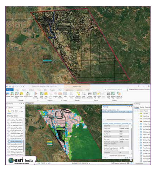
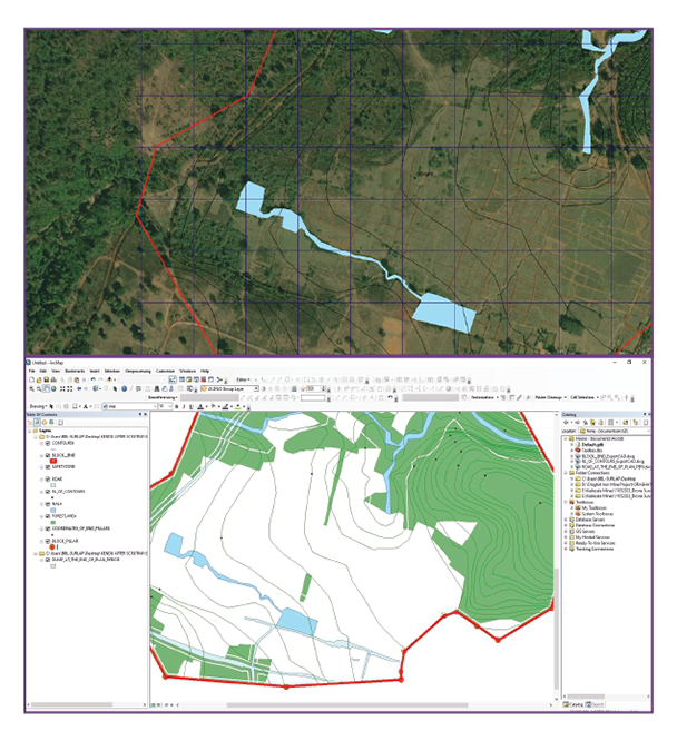
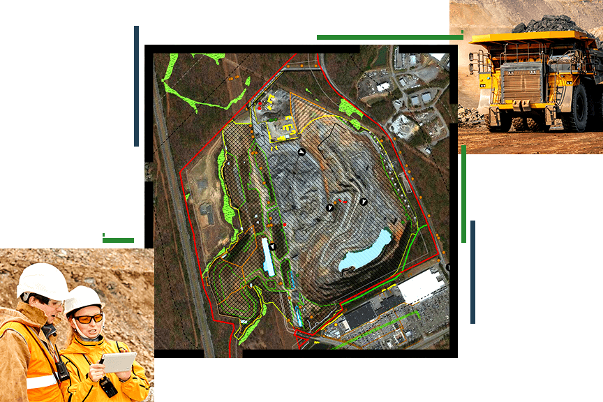
Supporting biodiversity in forestry requires effective management and conservation strategies to protect ecosystems and species. However, challenges such as monitoring diverse habitats, understanding ecological relationships, and implementing sustainable practices can complicate conservation efforts. ArcGIS addresses these challenges by providing robust spatial data and GIS-based tools to track, analyze, and manage biodiversity. By mapping habitats, monitoring species distributions, and assessing environmental impacts, ArcGIS helps forestry professionals make informed decisions for better conservation planning. This enhances the ability to protect critical ecosystems, improve biodiversity outcomes, and implement effective environmental management strategies across forestry operations.

GIS for Large-Scale Afforestation Projects and Environmental Restoration
GIS plays a crucial role in large-scale afforestation projects and environmental restoration by providing the tools needed for precise planning, monitoring, and management of these complex initiatives. However, challenges such as identifying suitable planting sites, tracking progress over vast areas, and assessing long-term environmental impacts can hinder the success of these projects. ArcGIS addresses these issues by offering powerful geospatial tools that allow forestry professionals to map land suitability, monitor tree growth, and analyze environmental conditions. With real-time data integration and advanced modeling capabilities, ArcGIS supports effective decision-making, ensuring that afforestation and restoration efforts are optimized for environmental sustainability and long-term success.

