Other Trends
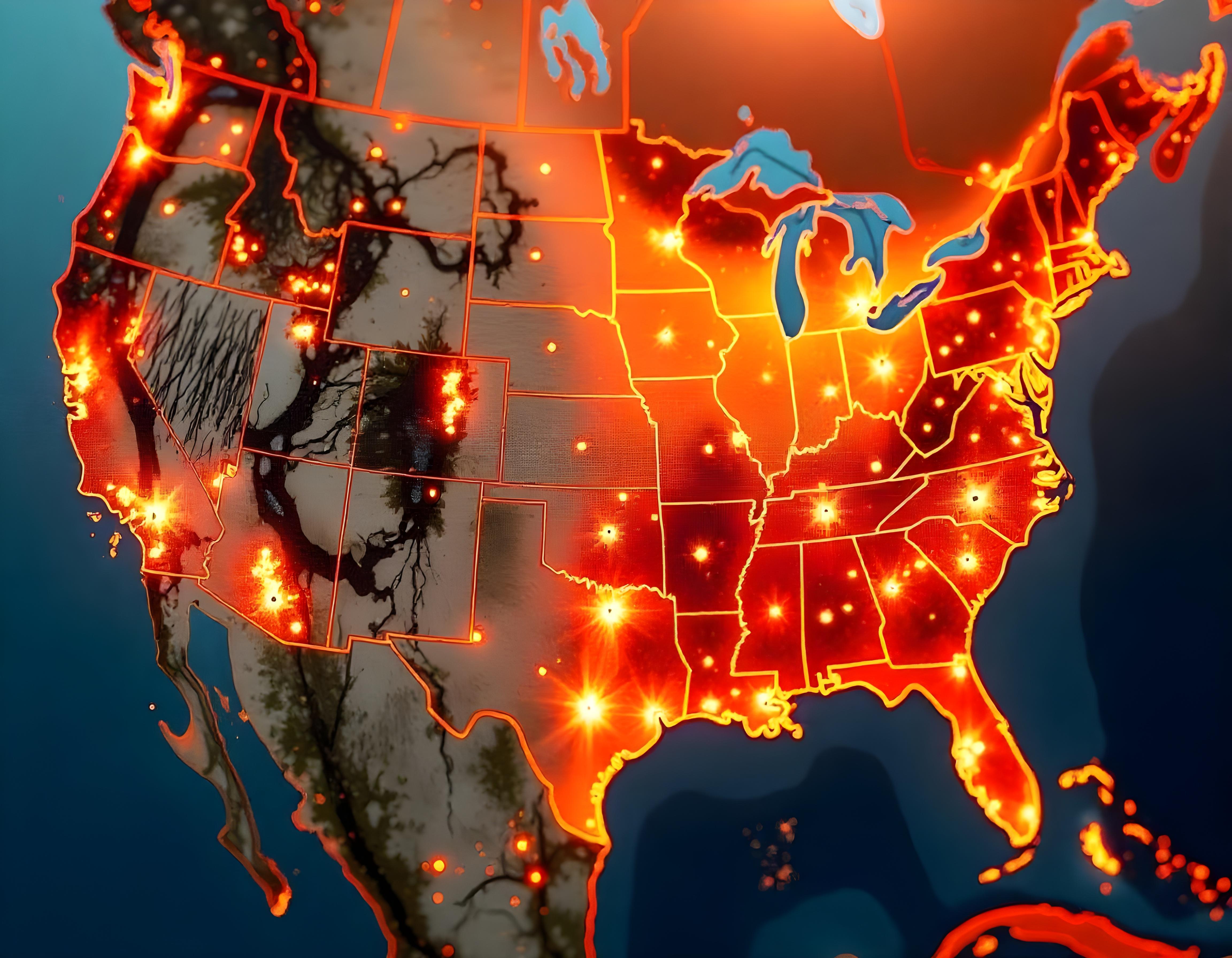
Leverage GIS for Wildfire Risk Mapping and Land-Use Planning
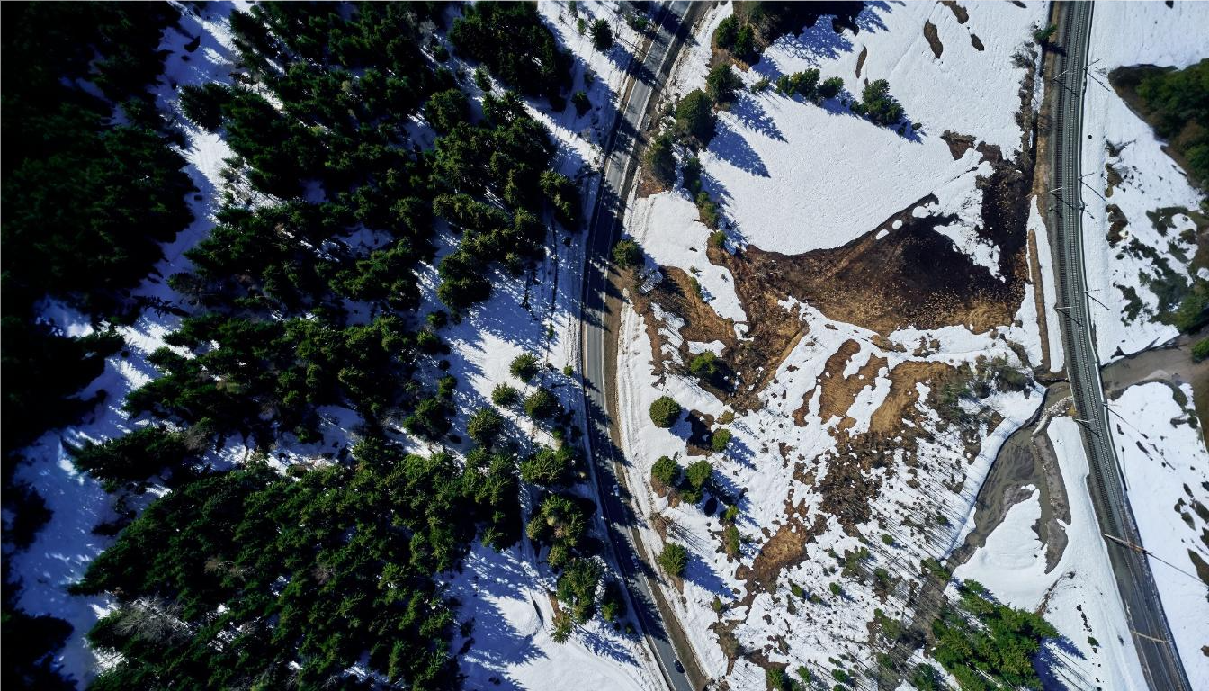
Leveraging GIS for wildfire risk mapping and land-use planning is essential for protecting forests, communities, and natural resources. However, challenges such as accurately assessing wildfire risk, managing vast landscapes, and planning land-use strategies to minimize fire hazards can complicate mitigation efforts. ArcGIS addresses these issues by providing advanced geospatial tools that allow forestry professionals to map wildfire risk zones, analyze vegetation types, and assess environmental factors that contribute to fire behavior. By integrating real-time data and predictive models, ArcGIS enables more informed land-use decisions, helping to reduce wildfire risks, improve forest management, and enhance community resilience to wildfires.
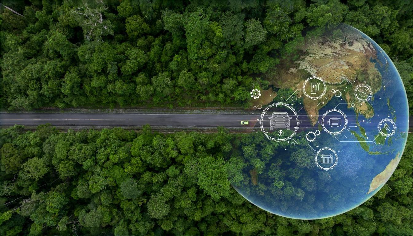
Supporting Biodiversity with Spatial Data and GIS-Based Environmental Management
Supporting biodiversity in forestry requires effective management and conservation strategies to protect ecosystems and species. However, challenges such as monitoring diverse habitats, understanding ecological relationships, and implementing sustainable practices can complicate conservation efforts. ArcGIS addresses these challenges by providing robust spatial data and GIS-based tools to track, analyze, and manage biodiversity. By mapping habitats, monitoring species distributions, and assessing environmental impacts, ArcGIS helps forestry professionals make informed decisions for better conservation planning. This enhances the ability to protect critical ecosystems, improve biodiversity outcomes, and implement effective environmental management strategies across forestry operations.
