Forestry
Tracking deforestation, wildfire risk, and forest health with real-time geospatial data provides valuable insights for effective forest management. Using satellite imagery and remote sensing, it enables continuous monitoring of forest cover, wildfire vulnerabilities, and ecosystem health. This data helps detect illegal logging, address pest outbreaks, and take early action on wildfire risks. By providing timely, accurate information, it empowers land managers and policymakers to make informed decisions that promote sustainable forest management and conservation.
Solutions for Forestry

Afforestation and Reforestation with Geospatial Monitoring and Planning
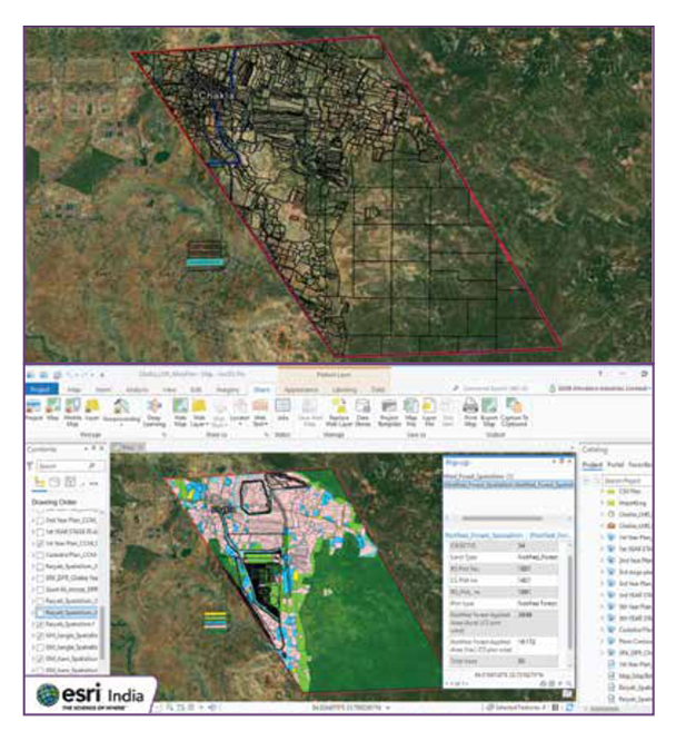
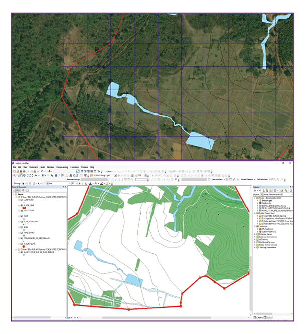
Managing forest ecosystems requires sustainable practices, biodiversity monitoring, and data-driven decisions. Esri’s geospatial analytics enable forest managers to analyze biodiversity, soil health, and water resources across vast forest areas. By using spatial data and analytics, forestry professionals can track changes in ecosystems, plan conservation efforts, and ensure sustainable management of forests and their resources.

Wildfire Management and Prevention with Geospatial Mapping Solutions
Wildfire management relies on precise mapping, monitoring, and predictive analysis to reduce risk and improve response efforts. Esri’s GIS technology allows forestry teams to analyze fire-prone areas, track ongoing wildfires, and plan firebreaks using geospatial mapping and real-time data. By integrating weather patterns, vegetation density, and terrain data, agencies can predict fire behavior, improve response times, and implement effective fire prevention strategies.

Forest Ecosystem Management with Geospatial Analytics and Data
Managing forest ecosystems requires sustainable practices, biodiversity monitoring, and data-driven decisions. Esri’s geospatial analytics enable forest managers to analyze biodiversity, soil health, and water resources across vast forest areas. By using spatial data and analytics, forestry professionals can track changes in ecosystems, plan conservation efforts, and ensure sustainable management of forests and their resources.

Products
Trends
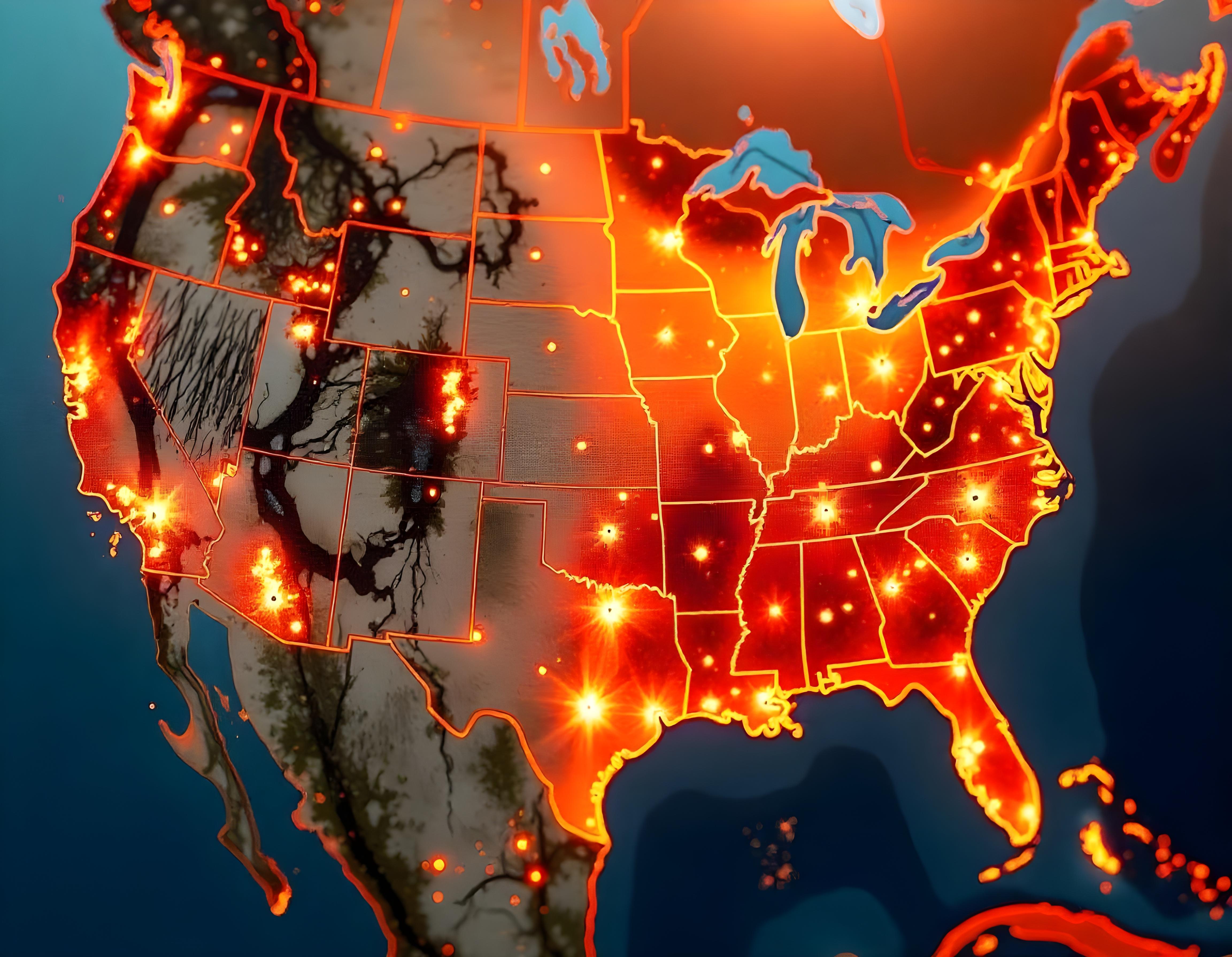
Leverage GIS for Wildfire Risk Mapping and Land-Use Planning
Leveraging GIS for wildfire risk mapping and land-use planning is essential for protecting forests, communities, and natural resources. However, challenges such as accurately assessing wildfire risk, managing vast landscapes, and planning land-use strategies to minimize fire hazards can complicate mitigation efforts. ArcGIS addresses these issues by providing advanced geospatial tools that allow forestry professionals to map wildfire risk zones, analyze vegetation types, and assess environmental factors that contribute to fire behavior. By integrating real-time data and predictive models, ArcGIS enables more informed land-use decisions, helping to reduce wildfire risks, improve forest management, and enhance community resilience to wildfires.
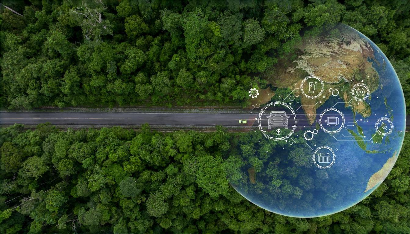
Supporting Biodiversity with Spatial Data and GIS-Based Environmental Management
Supporting biodiversity in forestry requires effective management and conservation strategies to protect ecosystems and species. However, challenges such as monitoring diverse habitats, understanding ecological relationships, and implementing sustainable practices can complicate conservation efforts. ArcGIS addresses these challenges by providing robust spatial data and GIS-based tools to track, analyze, and manage biodiversity. By mapping habitats, monitoring species distributions, and assessing environmental impacts, ArcGIS helps forestry professionals make informed decisions for better conservation planning. This enhances the ability to protect critical ecosystems, improve biodiversity outcomes, and implement effective environmental management strategies across forestry operations.
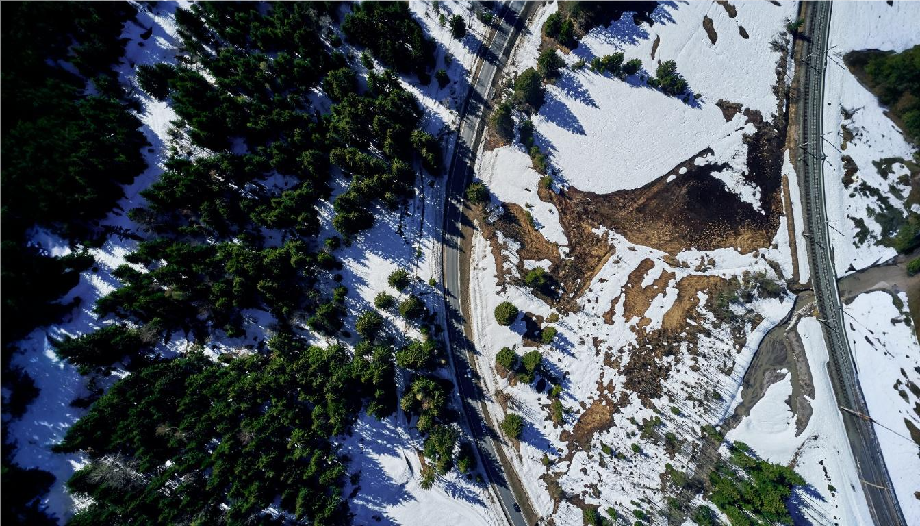
GIS for Large-Scale Afforestation Projects and Environmental Restoration
GIS plays a crucial role in large-scale afforestation projects and environmental restoration by providing the tools needed for precise planning, monitoring, and management of these complex initiatives. However, challenges such as identifying suitable planting sites, tracking progress over vast areas, and assessing long-term environmental impacts can hinder the success of these projects. ArcGIS addresses these issues by offering powerful geospatial tools that allow forestry professionals to map land suitability, monitor tree growth, and analyze environmental conditions. With real-time data integration and advanced modeling capabilities, ArcGIS supports effective decision-making, ensuring that afforestation and restoration efforts are optimized for environmental sustainability and long-term success.
Latest Blog Posts
Discover our most recent posts across all industries, branchs and topics.
Transforming Business Operations with Mining Intelligence
Data is the backbone of the mining industry. Every mine must have reliable, up-to-date information to make the best possible decisions, from first dig to…
