In today’s digital era, governments increasingly use Geographic Information Systems (GIS) to promote transparency, boost citizen engagement, and improve public participation. GIS allows governments to visualize data spatially, enhancing decision-making and public access to information. However, challenges persist, including limited access to government data, lack of trust, and difficulty in involving citizens meaningfully. ArcGIS addresses these issues by providing an interactive platform for citizens to engage with geospatial data, access real-time updates, and participate in planning. With robust mapping and analysis tools, ArcGIS helps governments foster transparency, improve communication, and create more inclusive processes.

Other Trends

Future-Proofing Public Administration Through Streamlined Operations
As governments and public administrations strive to become more efficient and adaptable, the need for streamlined operations has never been more critical. Traditional methods often lead to inefficiencies, communication breakdowns, and data silos, hindering public service delivery. Key challenges include fragmented data management, slow response times, and difficulty in adapting to rapidly changing circumstances. ArcGIS provides a comprehensive solution to these problems by offering a centralized platform for managing, analyzing, and visualizing spatial data. T

Improve Public Health Services with GIS for Data-Driven Health Planning
Public health services can be significantly enhanced through the use of Geographic Information Systems (GIS), which allows for more effective data collection, analysis, and decision-making. The key challenges in public health include managing vast amounts of data, identifying health trends, and delivering resources efficiently to areas with the greatest need. These issues often lead to misallocated resources, delayed interventions, and an inability to quickly identify and address emerging health crises. ArcGIS addresses these challenges by providing powerful tools for spatial analysis, enabling health authorities to visualize health trends, track disease outbreaks, and plan resource distribution with precision. By integrating GIS into public health planning, ArcGIS helps governments and organizations to make data-driven decisions, optimize healthcare services, and proactively address health disparities in communities, ultimately improving the efficiency and accessibility of healthcare systems.

Resources

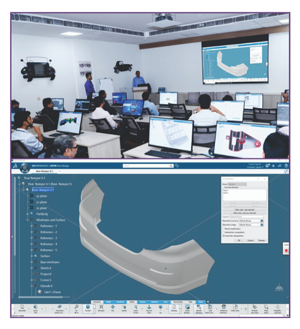
CATIA for Civil Infrastructure and Underground Design
CATIA, developed by Dassault Systems, is a powerful tool for designing and managing underground structures. It allows for the creation of virtual twins, detailed geological…

Use Location Intelligence to Make Your City Smarter
Varanasi Smart City Limited (VSCL) guards the idea of rejuvenating the city of Varanasi into a great place to live and visit. It targets projects…
Smart solutions to reduce Non-Revenue Water and boost efficiency
Thrissur Municipal Corporation’s Water Efficient Thrissur (WET) is an integration solution of GIS technology with Internet of Things (IoT) to optimise the water utility management…