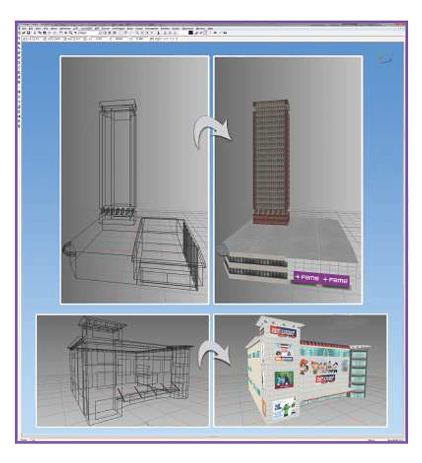
The ready-to-use solutions for homeland security, offering simulation, training, and mission support tools for homeland security with advanced software and hardware for real-time data processing, scenario simulation, and mission planning. Additionally, spatial analytics capabilities enable geospatial analysis and interactive mapping, enhancing situational awareness and decision-making. These integrated solutions improve operational effectiveness and ensure mission success while reducing costs and development time.
Solutions for Homeland Security

Advanced Surveillance and Data Solutions for National Security
In national security, surveillance is vital for monitoring potential threats and ensuring the safety of citizens. With real-time monitoring capabilities, advanced surveillance systems enable the collection of critical data for situational awareness.

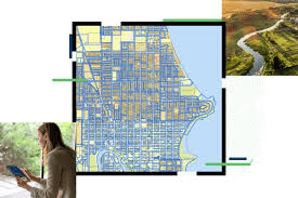
Real Time Geospatial Intelligence and Analytics for Reinforcing Homeland Security
Enhance the security and stability of communities by supporting critical infrastructure protection, event management, real-time monitoring, and risk management.

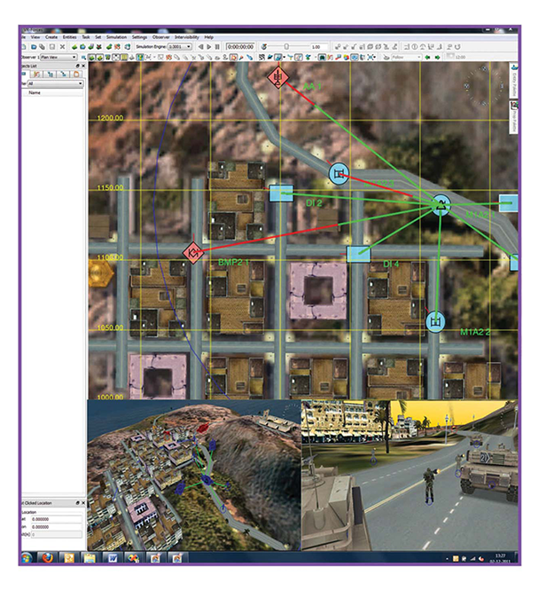
Emergency Response with Integrated Simulation & Planning
In emergency management, simulation-based planning helps responders prepare for a variety of crises. Advanced simulation tools create realistic, scenario-based training environments where emergency response teams can test strategies and refine their coordination efforts.


Trends

Intelligence Operations and Analysis
In Intelligence Operations and Analysis within Homeland Security, the challenge lies in processing and analyzing vast amounts of diverse data, including geospatial, temporal, and textual information, to make real-time, informed decisions. Key challenges include integrating heterogeneous data, ensuring accuracy, visualizing complex relationships, and enabling collaboration among multiple agencies. ArcGIS by Esri addresses these issues by providing a powerful platform for geospatial intelligence, enabling real-time mapping, advanced spatial analysis, and seamless data integration. Its ability to handle large datasets, facilitate collaboration, and offer predictive analytics and pattern recognition helps homeland security agencies improve situational awareness, streamline decision-making, and enhance overall operational efficiency in managing threats and risks.

Infrastructure Protection and Critical Event Management
In Infrastructure Protection and Critical Event Management within Homeland Security, the primary goal is to safeguard vital infrastructure, such as transportation systems, energy grids, and communication networks, while effectively managing and responding to emergencies and critical events. Key challenges include monitoring the vast array of infrastructure assets, assessing vulnerabilities, coordinating response efforts across multiple agencies, and ensuring real-time situational awareness during incidents. ArcGIS addresses these challenges by providing a comprehensive geospatial platform that integrates infrastructure data with real-time event information, enabling predictive modeling and risk assessments. Its capabilities for spatial analysis, real-time mapping, and collaborative decision-making enhance response times, improve coordination, and ensure that homeland security agencies can effectively protect critical assets and manage events as they unfold.

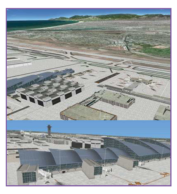
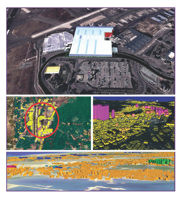
Port Security through GIS
Port Security through GIS in Homeland Security focuses on safeguarding maritime ports and the critical infrastructure that supports international trade, while preventing threats such as smuggling, terrorism, and illegal immigration. Key challenges include monitoring vast port areas, tracking vessel movements, managing security data from various sources, and ensuring real-time situational awareness across large and complex environments. ArcGIS addresses these issues by providing a powerful geospatial platform that integrates port infrastructure data, vessel tracking, and real-time surveillance information. With its capabilities in spatial analysis, real-time mapping, and data sharing, ArcGIS enhances port security by improving threat detection, streamlining coordination between agencies, and enabling proactive decision-making to protect critical port assets and ensure the safety of maritime operations.

Disaster Management
Disaster Management in Homeland Security involves preparing for, responding to, and recovering from natural and man-made disasters to protect lives, property, and infrastructure. Key challenges include efficiently coordinating resources, assessing damage in real-time, managing large volumes of data from various sources, and ensuring quick, informed decision-making during a crisis. ArcGIS addresses these challenges by providing a comprehensive geospatial platform that integrates real-time data, supports damage assessment, and enables spatial analysis for resource allocation. With its powerful mapping, data visualization, and collaboration tools, ArcGIS enhances disaster management efforts by improving situational awareness, optimizing response strategies, and ensuring more effective recovery and mitigation efforts.
Latest Blog Posts
Discover our most recent posts across Aerospace and Defence Industry.

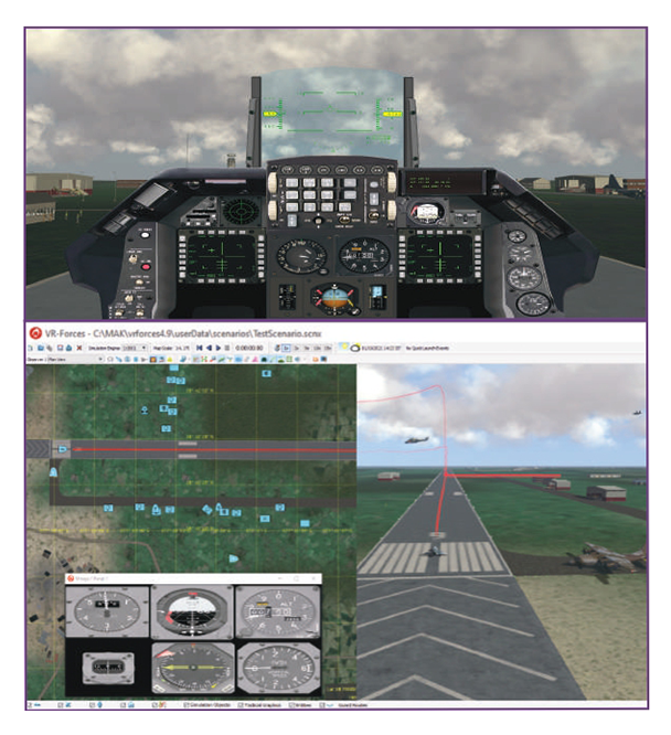
Scenario-based Flight Training Simulation
Global flight simulator market is sky-rocketing and projected to reach $7.7 billion by 2025 with a CAGR of 5.2% from 2019. With the increasing demand…