ArcGIS stands as a cornerstone in field operations, offering a suite of powerful tools designed to enhance productivity and decision-making in various industries. Its adaptability to diverse field tasks, combined with seamless integration with mobile devices, empowers users to collect, analyze, and visualize spatial data in real time. From asset management to environmental monitoring, ArcGIS provides a comprehensive solution for optimizing field operations, enabling organizations to achieve greater efficiency and effectiveness in their workflows. This introduction sets the stage for exploring the wide-ranging capabilities of ArcGIS in facilitating field-based tasks across different sectors.

Seamless Coordination
Align office and field operations seamlessly. Harness the potential of spatial information to pinpoint work requirements and efficiently coordinate and deploy resources. Your current authoritative data serves as the foundation for planning field activities.

Offline Navigation
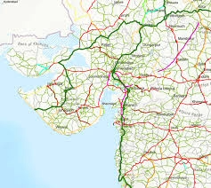
Access your data and navigate your routes, even without an internet connection. Ensure punctuality and task completion by utilizing the most optimal paths. Drivers stay focused with voice-guided navigation, tailored to vehicle type and road regulations, ensuring safe and efficient travel.

Portable Maps
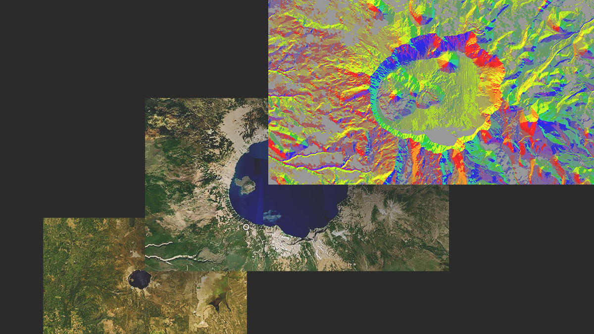
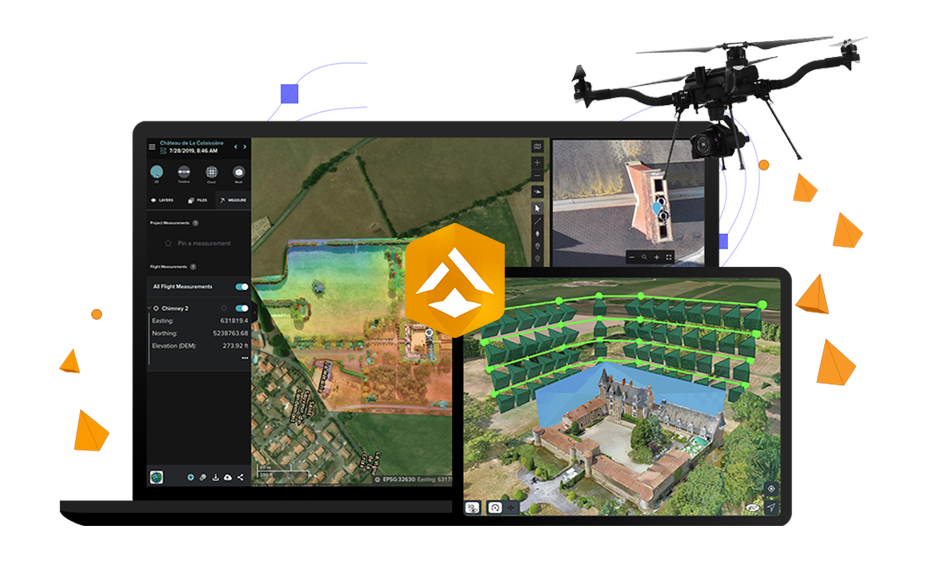
Carry your organization's digital maps wherever you go, at any moment. Utilize up-to-date maps to locate assets, areas of interest, or explore nearby surroundings. Enhance your spatial awareness and comprehension during inspections, disaster responses, or other tasks requiring spatial context.
Digital Transformation
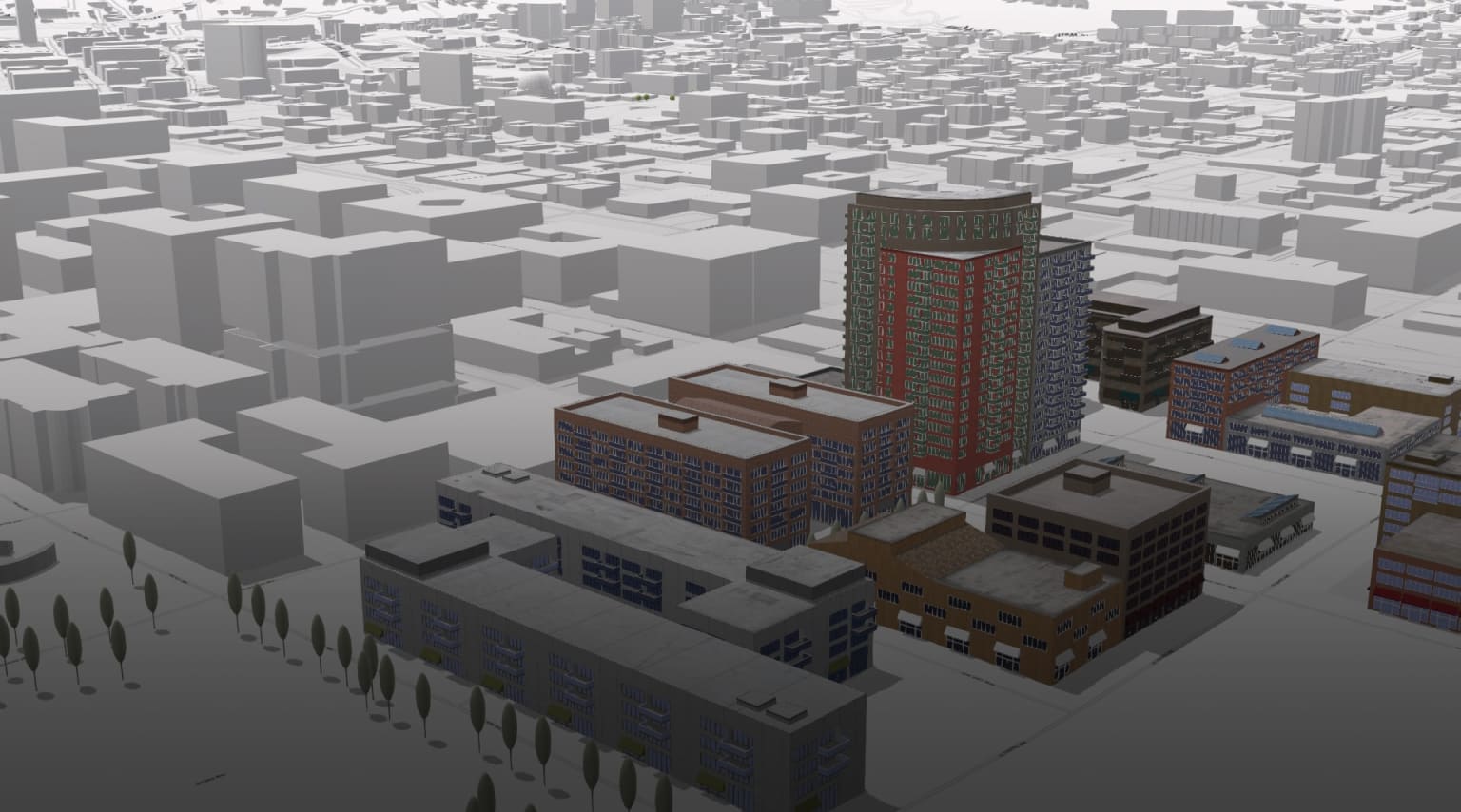
Replace antiquated paper-based processes with modern digital workflows. Empower field personnel to conduct precise data collection and asset inspections effortlessly, regardless of their level of expertise, using location-aware applications. Instantly integrate field-captured data into your central system, enhancing lifecycle management and facilitating well-informed decision-making.

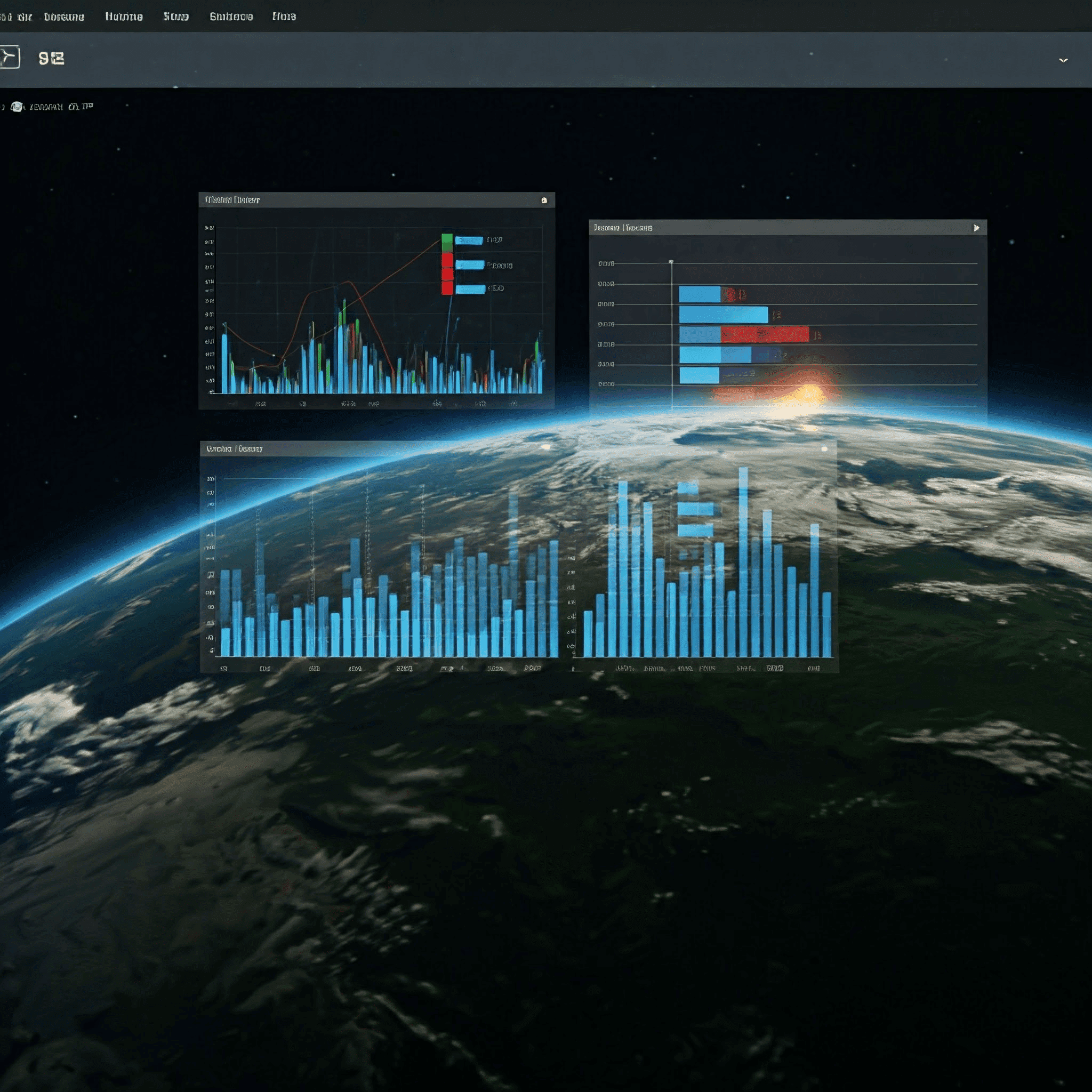
Instant Insights
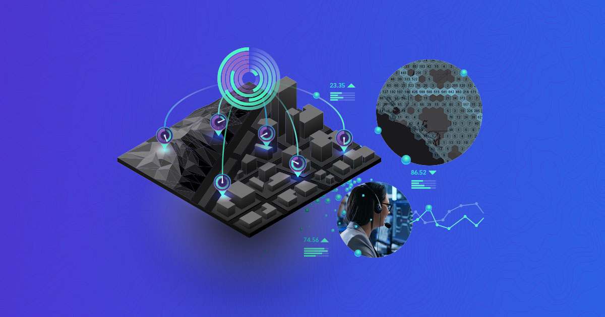
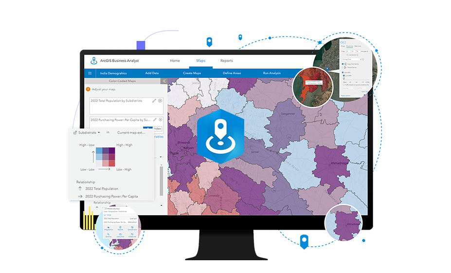
Facilitate quick decision-making with intuitive displays. User-friendly dashboards and maps aid in informed choices. Keep managers updated on field operations through real-time monitoring, tracking, and reporting of key data and activities. Share maps and dashboards to inform stakeholders of relevant events and activities.
Location Tracking
Stay informed about field operations. Allow field staff to share their location tracks, providing insights into their whereabouts and movements. ArcGIS offers various solutions for location tracking, accessible through multiple platforms. Field personnel can utilize a mobile app with user-controlled tracking features. Authorized managers and supervisors can leverage a web app to visualize and analyze track data, facilitating efficient allocation of resources and enhanced field activity management.

Collaborative Sharing
Sharing information is vital for project success. Whether collaborating as a unified team or with various organizations, adapting to specific requirements is seamless within one system. Efficiently manage data access for both internal and external stakeholders, ensuring everyone has access to pertinent information only.
Explore Other Capabilities

Discover Corresponding Products
Resources

ArcGIS- Apply Geography to Every Decision
Use maps that are based on accurate, authoritative data to guide your decision making. See…
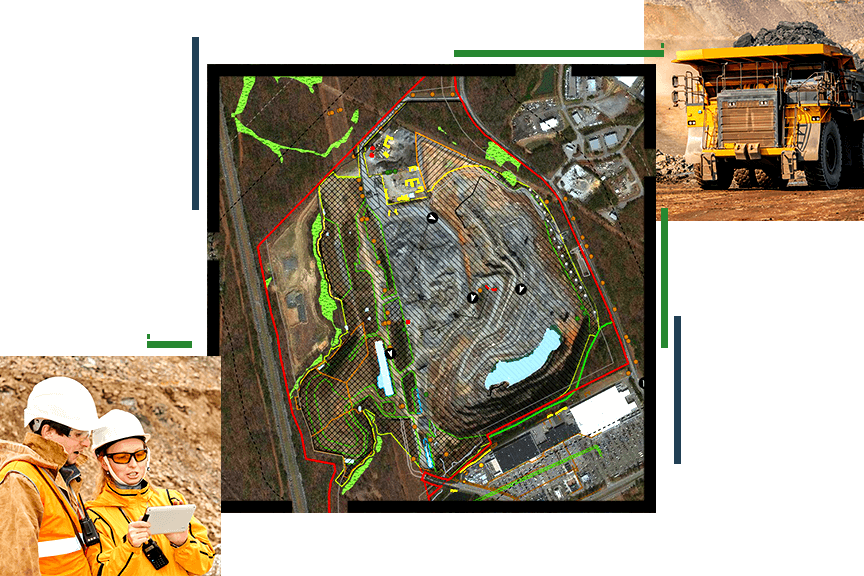
Enhancing Mineral Resource Development with ESRI’s GIS Solutions
Location Intelligence is fundamental across the mining life cycle, from mineral exploration to mine remediation.…
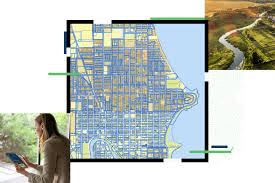
Efficient Land Data & Workflow Management with GIS
GIS applications are instrumental in land management systems, supporting cadastral mapping, land use planning, environmental…
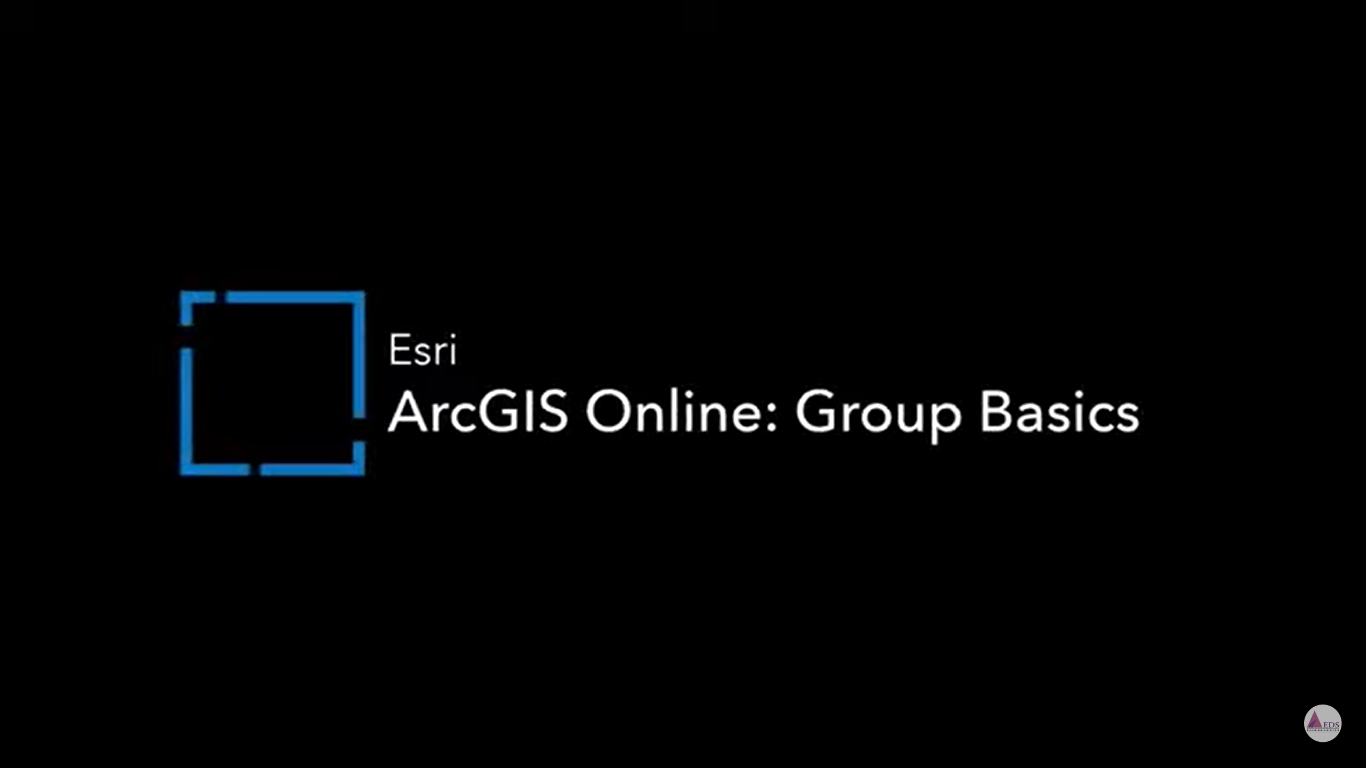
Collaborate & Organize Seamlessly with ArcGIS Online
Discover how to effectively use groups in ArcGIS Online to streamline content organization, enhance data…
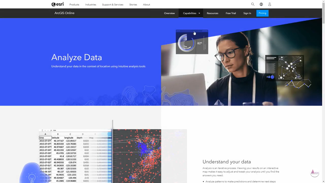
Unlock Spatial Insights with Map Viewer in ArcGIS Online
Unlock the Power of Spatial Analysis in ArcGIS Online to harness the potential of spatial…